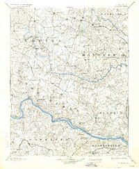
1892 Map of Goochland
USGS Topo · Published 1934About this map
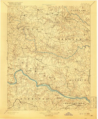
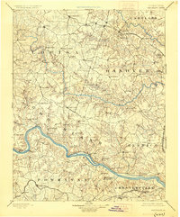
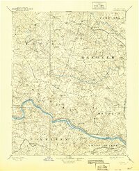
The James River and the South Anna River carve through the heart of central Virginia, defining a landscape of deep-cut drainages and early rail corridors. Surveyed in 1888, this topographic record captures the transition of the Piedmont as it moves toward the Tidewater, evidenced by the concentration of Coal Pits in eastern Henrico and the established rural hubs of Goochland and Hanover. The map highlights a network of nineteenth-century crossroad settlements like Gardners X Roads and Thompsons X Roads, which served as vital centers for the surrounding farming communities.
Find a feature on this map
94 named features on this map. Tap any name to fly to it.
Don’t see what you’re looking for? This feature index may not catch every label — zoom into the map to look around manually.
Map Details
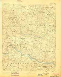
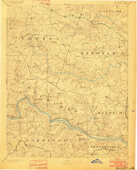
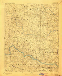
Editions of this 1892 Goochland Map
8 editions found
Other maps of this area

1887 · Spottsylvania
USGS Topo · 1:125,000

1889 · Fredericksburg
USGS Topo · 1:125,000

1890 · Goochland
USGS Topo · 1:125,000

1891 · Palmyra
USGS Topo · 1:125,000

1891 · Farmville
USGS Topo · 1:125,000

1892 · Fredericksburg
USGS Topo · 1:125,000

1892 · Spottsylvania
USGS Topo · 1:125,000

1892 · Goochland
USGS Topo · 1:125,000

1892 · Gordonsville
USGS Topo · 1:125,000

1893 · Farmville
USGS Topo · 1:125,000