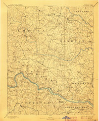
1892 Map of Goochland
USGS Topo · Published 1908About this map
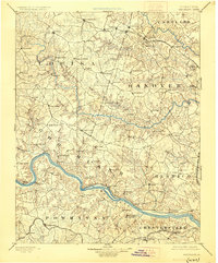
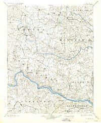
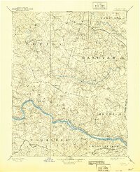
James River and its accompanying Richmond and Allegheny Railroad define the southern corridor of this central Virginia landscape in the late nineteenth century. The map illustrates a region transitioning between major river systems, from the James up through the South Anna River and the North Anna River at the northern border. It documents a dense network of crossroads and early post offices like Gum Spring, Negro Foot, and Cuckoo, reflecting a period when rural commerce was tied to local landmarks and junction points.
Find a feature on this map
96 named features on this map. Tap any name to fly to it.
Don’t see what you’re looking for? This feature index may not catch every label — zoom into the map to look around manually.
Map Details
Editions of this 1892 Goochland Map
8 editions found
Other maps of this area

1887 · Spottsylvania
USGS Topo · 1:125,000

1889 · Fredericksburg
USGS Topo · 1:125,000

1890 · Goochland
USGS Topo · 1:125,000

1891 · Palmyra
USGS Topo · 1:125,000

1891 · Farmville
USGS Topo · 1:125,000

1892 · Fredericksburg
USGS Topo · 1:125,000

1892 · Spottsylvania
USGS Topo · 1:125,000

1892 · Goochland
USGS Topo · 1:125,000

1892 · Gordonsville
USGS Topo · 1:125,000

1893 · Farmville
USGS Topo · 1:125,000