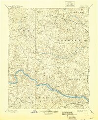
1890 Map of Goochland
USGS Topo · Published 1890About this map
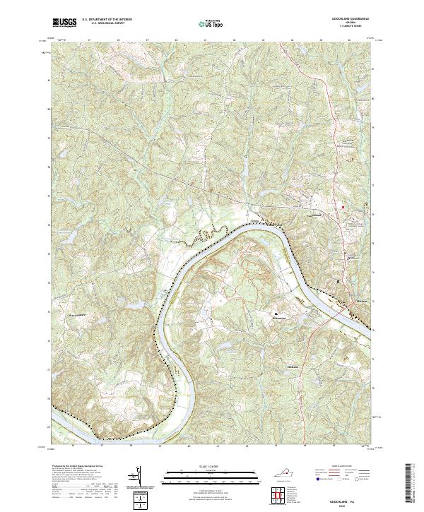
The James River corridor defines the southern boundary of this late nineteenth-century survey, serving as a critical artery for the Richmond and Allegheny Railroad and the numerous mills and small settlements dotting the riverbanks. To the north, the landscape is heavily influenced by the Chesapeake and Ohio Railroad, which connects rural outposts like Beaver Dam and Buckner through the rolling central Virginia Piedmont. This era shows a complex network of crossroads and small communities, such as Jones Roads and Gardners Roads, which served as local hubs before the consolidation of modern transportation.
Find a feature on this map
101 named features on this map. Tap any name to fly to it.
Don’t see what you’re looking for? This feature index may not catch every label — zoom into the map to look around manually.
Map Details
Editions of this 1890 Goochland Map
This is the sole edition of this map. No revisions or reprints were ever made.
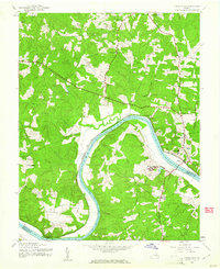
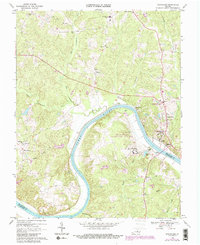
Historical Maps of Tuckahoe Through Time
6 maps found