
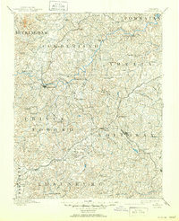
1891 Map of Farmville
USGS Topo · Published 1891About this map
The Appomattox River carves a winding path through the heart of south-central Virginia in this late nineteenth-century survey, anchoring a region defined by its rail hubs and courthouse towns. In Farmville, the confluence of the river and the Norfolk and Western R.R. creates a vital commercial center, while the famous High Bridge spans the valley to the east. The landscape is dotted with early educational and civic landmarks, including the campus at Hampden Sidney and the seat of government at Cumberland C.H.
Find a feature on this map
110 named features on this map. Tap any name to fly to it.
Don’t see what you’re looking for? This feature index may not catch every label — zoom into the map to look around manually.
Map Details
Editions of this 1891 Farmville Map
This is the sole edition of this map. No revisions or reprints were ever made.
Historical Maps of Farmville Through Time
9 maps found
1891 Farmville
Prince Edward County, VA
1893 Farmville
Prince Edward County, VA
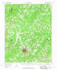
1958 Farmville
Prince Edward County, VA
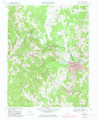
1968 Farmville
Prince Edward County, VA
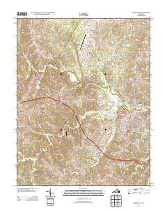
2010 Farmville
Prince Edward County, VA
2013 Farmville
Prince Edward County, VA
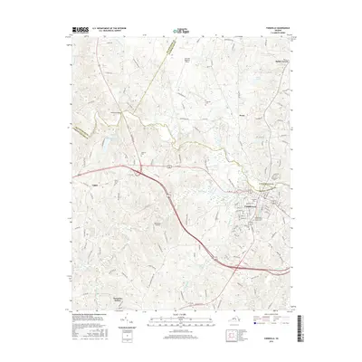
2016 Farmville
Prince Edward County, VA
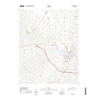
2019 Farmville
Prince Edward County, VA
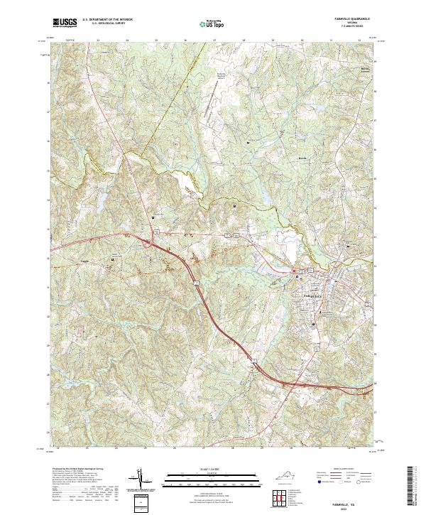
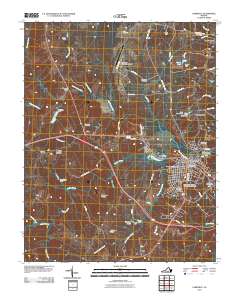
2022 Farmville
Prince Edward County, VA