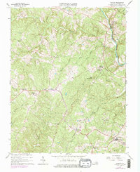
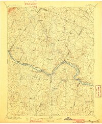
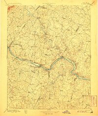
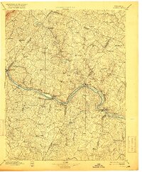
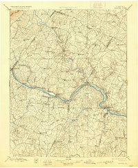
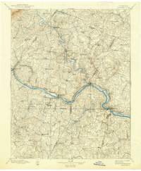
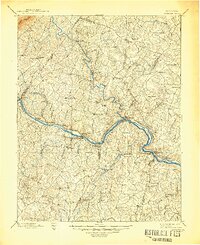
1897 Map of Palmyra
USGS Topo · Published 1897About this map
The James River and Rivanna River converge at the heart of this late-19th-century landscape, anchoring a network of river-towns and industrial sites. In the southern portion of the map, the Slate Quarry near Arvonia highlights the region's extraction history, while numerous milling operations like Eldridge Mill and Trenton Mills sit along the smaller tributaries. The Chesapeake and Ohio Railroad follows the winding path of the James, connecting riverfront settlements such as Scottsville, Bremo Bluff, and New Canton. These transport corridors were vital for the movement of goods from the interior to the coast. Further north, Palmyra serves as a central hub for the upland communities, surrounded by numerous small crossroads and family-named landmarks like Bybee, Wilmington, and Dixie. The mapping also reveals several county boundaries intersecting the terrain, including those of Albemarle, Fluvanna, and Buckingham.
Find a feature on this map
102 named features on this map. Tap any name to fly to it.
Don’t see what you’re looking for? This feature index may not catch every label — zoom into the map to look around manually.
Map Details
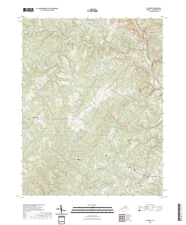
Editions of this 1897 Palmyra Map
7 editions found
Historical Maps of Lake Monticello Through Time
5 maps found