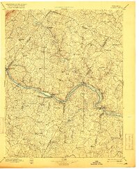
1897 Map of Palmyra
USGS Topo · Published 1916About this map
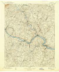
The Rivanna River flows through the heart of Fluvanna County, meeting the James River at the riverside community of Columbia. This late 19th-century survey highlights the vital importance of these waterways and the Chesapeake and Ohio Railroad to the local economy. Several settlements like Union Mills, Palmyra, and Bremo Bluff serve as hubs along the water, while the presence of a Slate Quarry near New Canton points to the region's industrial extraction history.
Find a feature on this map
99 named features on this map. Tap any name to fly to it.
Don’t see what you’re looking for? This feature index may not catch every label — zoom into the map to look around manually.
Map Details
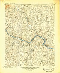
Editions of this 1897 Palmyra Map
7 editions found

Other maps of this area

1887 · Spottsylvania
USGS Topo · 1:125,000

1890 · Goochland
USGS Topo · 1:125,000

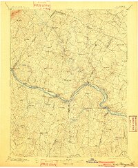
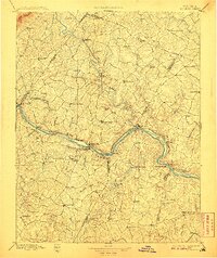
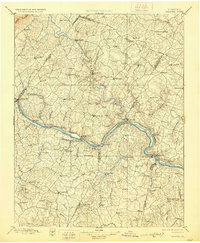
1891 · Palmyra
USGS Topo · 1:125,000

1891 · Farmville
USGS Topo · 1:125,000

1892 · Buckingham
USGS Topo · 1:125,000

1892 · Appomattox
USGS Topo · 1:125,000

1892 · Spottsylvania
USGS Topo · 1:125,000

1892 · Goochland
USGS Topo · 1:125,000

1892 · Gordonsville
USGS Topo · 1:125,000

1892 · Harrisonburg
USGS Topo · 1:125,000