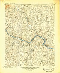
1891 Map of Palmyra
USGS Topo · Published 1891About this map
The James River and its confluence with the Rivanna River anchor this late-19th-century study of central Virginia, where water power and rail transit defined local industry. In the southern half of the map, the industrial character of the landscape is evident at the Arvonia Slate Quarry and numerous rural processing sites like Flanagans Mill, Trenton Mills, and Aldridges Mill. The Richmond and Alleghany Railroad follows the winding path of the James, connecting river towns such as Scottsville, Columbia, and Cartersville.
Find a feature on this map
80 named features on this map. Tap any name to fly to it.
Don’t see what you’re looking for? This feature index may not catch every label — zoom into the map to look around manually.
Map Details
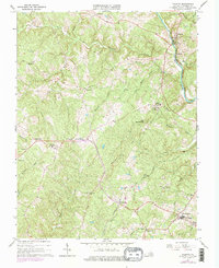
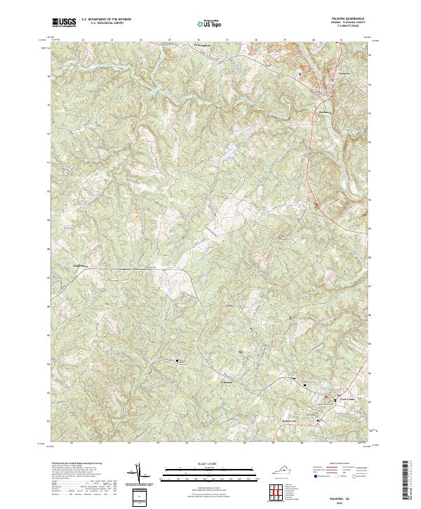
Editions of this 1891 Palmyra Map
This is the sole edition of this map. No revisions or reprints were ever made.
Historical Maps of Lake Monticello Through Time
5 maps found