
1893 Map of Farmville
USGS Topo · Published 1893About this map
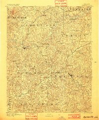
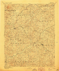
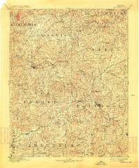
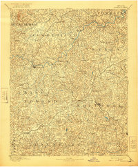
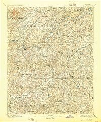
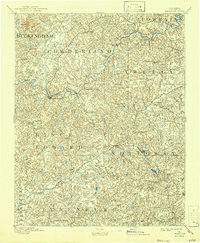
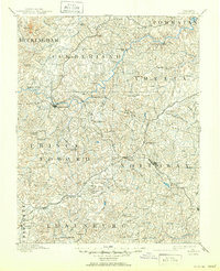
The Appomattox River anchors this 1889 survey of the Virginia Piedmont, where several counties converge at the regional hub of Farmville. The landscape is defined by the intersection of the Norfolk and Western R. R. and the Richmond and Danville R. R., creating vital transit points at Burkeville and Crewe. Beyond the rail lines, the map documents an older agricultural and industrial network of water-powered infrastructure, including Clementown Mills and Stony Point Mills along Flat Creek. Local genealogy and social history are preserved in labels for institutions like Hampden Sidney and Pauls Church, alongside crossroads such as Joppings Ordinary. Notable topographic landmarks include the prominent Willis Mt in the northwest and the massive High Bridge span over the Appomattox, which was a critical engineering feature of the era's rail infrastructure.
Find a feature on this map
103 named features on this map. Tap any name to fly to it.
Don’t see what you’re looking for? This feature index may not catch every label — zoom into the map to look around manually.
Map Details
Editions of this 1893 Farmville Map
8 editions found
Other maps of this area

1890 · Goochland
USGS Topo · 1:125,000

1891 · Palmyra
USGS Topo · 1:125,000

1891 · Farmville
USGS Topo · 1:125,000

1892 · Buckingham
USGS Topo · 1:125,000

1892 · Appomattox
USGS Topo · 1:125,000

1892 · Goochland
USGS Topo · 1:125,000

1895 · Palmyra
USGS Topo · 1:125,000

1897 · Amelia
USGS Topo · 1:125,000

1897 · Palmyra
USGS Topo · 1:125,000

1918 · Lawrenceville
USGS Topo · 1:62,500