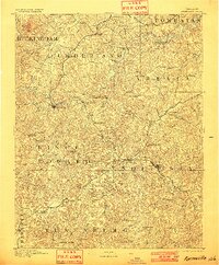
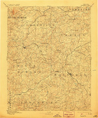
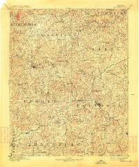
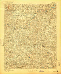
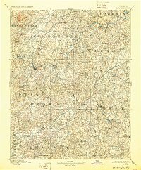
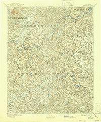
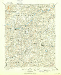
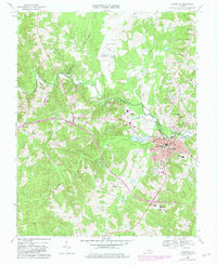
1893 Map of Farmville
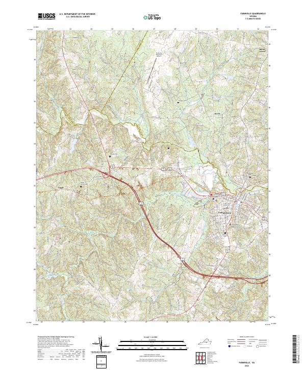
USGS Topo · Published 1901About this map
Farmville and its surrounding counties are depicted here during a pivotal era for Southside Virginia's rail-and-river network. The landscape is defined by the winding course of the Appomattox River, which serves as a natural boundary for Cumberland and Prince Edward counties. Transportation infrastructure is the dominant feature of this survey, highlighting the critical crossings of the Norfolk and Western RR and the Richmond and Danville RR. Most notable is the massive High Bridge east of Farmville, a structure of immense strategic importance during the late 19th century.
Find a feature on this map
94 named features on this map. Tap any name to fly to it.
Don’t see what you’re looking for? This feature index may not catch every label — zoom into the map to look around manually.
Map Details
Editions of this 1893 Farmville Map
8 editions found

Historical Maps of Farmville Through Time
9 maps found

1891 Farmville
Prince Edward County, VA
1893 Farmville
Prince Edward County, VA
1958 Farmville
Prince Edward County, VA
1968 Farmville
Prince Edward County, VA
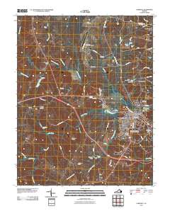
2010 Farmville
Prince Edward County, VA
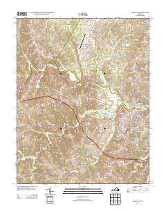
2013 Farmville
Prince Edward County, VA
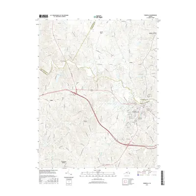
2016 Farmville
Prince Edward County, VA
2019 Farmville
Prince Edward County, VA
2022 Farmville
Prince Edward County, VA