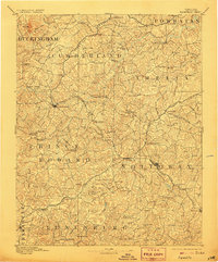
1893 Map of Farmville
USGS Topo · Published 1906About this map
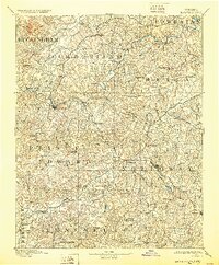
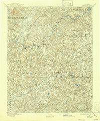
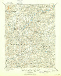
Farmville serves as the central hub of this late 19th-century landscape, where the Appomattox River meets a critical intersection of rail lines including the Norfolk and Western R. R. and the Farmville and Powhatan R. R. The map reveals a region defined by its waterway-driven industry, illustrated by numerous milling sites such as Guinea Mills, Stony Point Mills, and Clementown Mills.
Find a feature on this map
122 named features on this map. Tap any name to fly to it.
Don’t see what you’re looking for? This feature index may not catch every label — zoom into the map to look around manually.
Map Details
Editions of this 1893 Farmville Map
8 editions found
Other maps of this area

1890 · Goochland
USGS Topo · 1:125,000

1891 · Palmyra
USGS Topo · 1:125,000

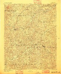
1891 · Farmville
USGS Topo · 1:125,000

1892 · Buckingham
USGS Topo · 1:125,000

1892 · Appomattox
USGS Topo · 1:125,000

1892 · Goochland
USGS Topo · 1:125,000

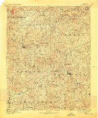
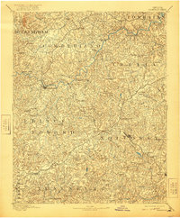
1893 · Farmville
USGS Topo · 1:125,000

1895 · Palmyra
USGS Topo · 1:125,000

1897 · Amelia
USGS Topo · 1:125,000

1897 · Palmyra
USGS Topo · 1:125,000