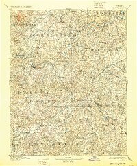
1893 Map of Farmville
USGS Topo · Published 1930About this map
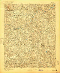
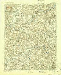
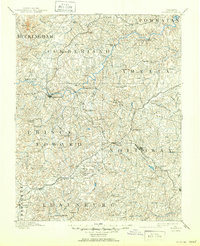
Farmville serves as the central hub of this late 19th-century landscape, situated at the confluence of several major drainage systems and the crossing of the N. & W. R. R. The map illustrates a region defined by its water-powered industry, with numerous milling operations such as Guinea Mills, Stony Point Mills, and Clementown Mills scattered along the Appomattox River and its tributaries. To the west, Willis Mt provides a sharp topographic contrast to the rolling Piedmont terrain that dominates the surrounding counties. Educational and religious landmarks are well represented, including the campus of Hampden Sidney and the nearby Worsham and Kingsville settlements. The rail-and-river economy is further evidenced by significant infrastructure like the High Bridge and the intersection of the Richmond and Danville R. R. at Keysville, reflecting a period of intense agrarian and industrial transport before the modernization of the state's interior highway network.
Find a feature on this map
101 named features on this map. Tap any name to fly to it.
Don’t see what you’re looking for? This feature index may not catch every label — zoom into the map to look around manually.
Map Details
Editions of this 1893 Farmville Map
8 editions found
Other maps of this area

1890 · Goochland
USGS Topo · 1:125,000

1891 · Palmyra
USGS Topo · 1:125,000

1891 · Farmville
USGS Topo · 1:125,000

1892 · Buckingham
USGS Topo · 1:125,000

1892 · Appomattox
USGS Topo · 1:125,000

1892 · Goochland
USGS Topo · 1:125,000

1893 · Farmville
USGS Topo · 1:125,000

1895 · Palmyra
USGS Topo · 1:125,000

1897 · Amelia
USGS Topo · 1:125,000

1897 · Palmyra
USGS Topo · 1:125,000