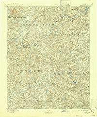
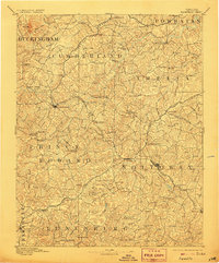
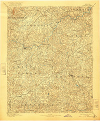
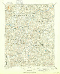
1893 Map of Farmville
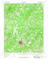
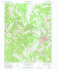
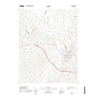
USGS Topo · Published 1943About this map
The Appomattox River winds through the heart of Southside Virginia, serving as a geographic anchor for the intersecting rail lines and rural settlements of the late nineteenth century. Farmville stands as a primary hub, situated near the impressive High Bridge and the junction of the Norfolk & Western R. R. and other early transit routes. The landscape is dotted with small-scale industrial landmarks of the era, such as Guinea Mills, Stony Point Mills, and Clementown Mills, reflecting an economy deeply tied to the region's river systems and local agriculture.
Find a feature on this map
86 named features on this map. Tap any name to fly to it.
Don’t see what you’re looking for? This feature index may not catch every label — zoom into the map to look around manually.
Map Details
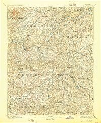
Editions of this 1893 Farmville Map
8 editions found

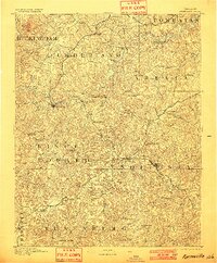
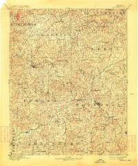
Historical Maps of Farmville Through Time
9 maps found

1891 Farmville
Prince Edward County, VA
1893 Farmville
Prince Edward County, VA
1958 Farmville
Prince Edward County, VA
1968 Farmville
Prince Edward County, VA
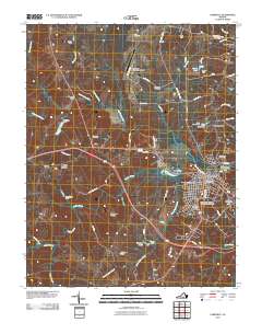
2010 Farmville
Prince Edward County, VA
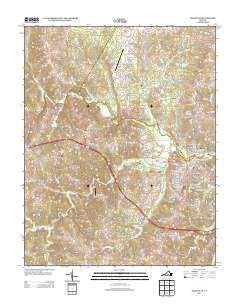
2013 Farmville
Prince Edward County, VA
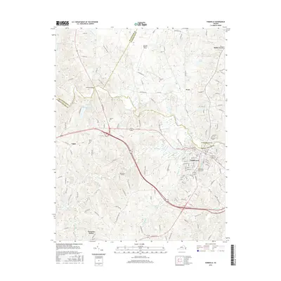
2016 Farmville
Prince Edward County, VA
2019 Farmville
Prince Edward County, VA
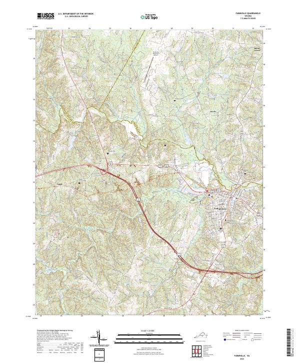
2022 Farmville
Prince Edward County, VA