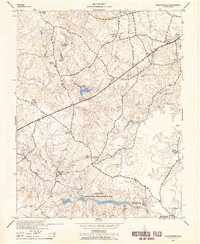
1943 Map of Chesterfield
USGS Topo · Published 1958About this map
Swift Creek Recreational Demonstration Area anchors the southern portion of this mid-century landscape, revealing a period of significant public land development in Virginia. The terrain is defined by a dense network of tributaries including Falling Creek and Licking Creek, where the Licking Creek Fishing Club suggests the era's local recreation patterns. Community life is centered around numerous country congregations such as Providence Church, Mt Giea Church, and Spring Creek Church, which are scattered along the rural road network alongside the Manchester School and Good Hope School. Near the village of Chesterfield, the County Fair Ground and a Sawmill illustrate the intersection of civic gatherings and local timber industry. The presence of the State Police Hdqrs. and a prominent Water Tank indicate the early modernization and infrastructure supporting this growing county seat.
Find a feature on this map
26 named features on this map. Tap any name to fly to it.
Don’t see what you’re looking for? This feature index may not catch every label — zoom into the map to look around manually.
Map Details
Editions of this 1943 Chesterfield Map
3 editions found

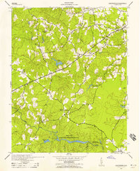
Other maps of this area

1890 · Goochland
USGS Topo · 1:125,000

1892 · Goochland
USGS Topo · 1:125,000

1894 · Bermuda Hundred
USGS Topo · 1:62,500

1894 · Richmond
USGS Topo · 1:62,500

1895 · Richmond
USGS Topo · 1:62,500

1897 · Amelia
USGS Topo · 1:125,000

1934 · Richmond
USGS Topo · 1:24,000

1936 · Richmond West
USGS Topo · 1:24,000

1938 · Drewrys Bluff
USGS Topo · 1:24,000

1939 · Richmond
USGS Topo · 1:31,680