
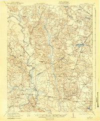
1919 Map of Homeville
USGS Topo · Published 1919About this map
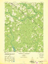
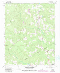
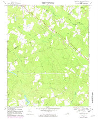
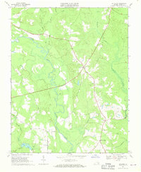
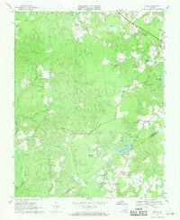
The Nottoway River carves a winding path through this corner of Sussex and Southampton Counties, defining a landscape of low-lying wetlands and scattered agricultural settlements. In 1918, the region was heavily reliant on the Virginian and Southern railroads, which connected rural hubs like Sebrell and Homeville to the broader tidewater economy. The map reveals a dense network of country churches and community schools, such as Hickory Hill Church and Jones School, illustrating the localized social structure of the era. Extensive marshlands, including Assamoosick Swamp and Seacock Swamp, dominate the drainage patterns, while crossings like Peters Bridge and Carey Bridge provide vital links across the river. Notable millponds, such as Airfield Millpond and Brittles Millpond, underscore the importance of local water-powered industry in these rural Virginia communities.
Find a feature on this map
43 named features on this map. Tap any name to fly to it.
Don’t see what you’re looking for? This feature index may not catch every label — zoom into the map to look around manually.
Map Details
Editions of this 1919 Homeville Map
This is the sole edition of this map. No revisions or reprints were ever made.
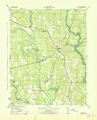
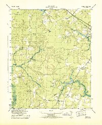
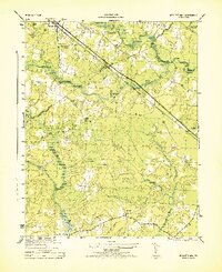
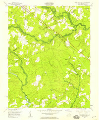
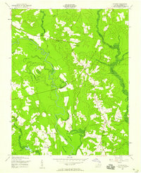
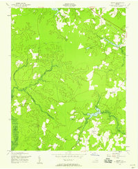
Historical Maps of Beales Through Time
17 maps found
1919 Homeville
Sussex County, VA
1920 Homeville
Sussex County, VA
1943 Littleton
Sussex County, VA
1943 Manry
Sussex County, VA
1944 Nebletts Mill
Sussex County, VA
1947 Nebletts Mills
Sussex County, VA
1956 Disputanta South
Sussex County, VA
1956 Littleton
Sussex County, VA
1956 Manry
Sussex County, VA
1966 Yale
Sussex County, VA
1968 Disputanta South
Sussex County, VA
1968 Littleton
Sussex County, VA
1969 Manry
Sussex County, VA
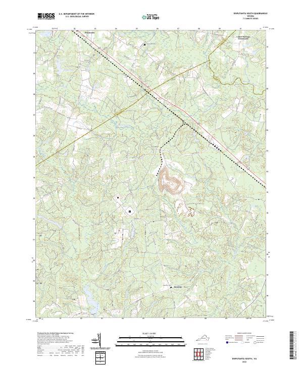
2022 Disputanta South
Sussex County, VA
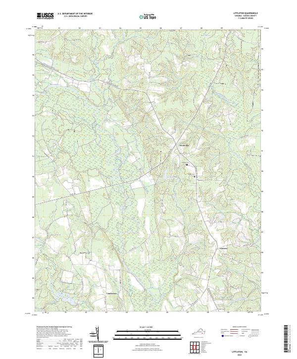
2022 Littleton
Sussex County, VA
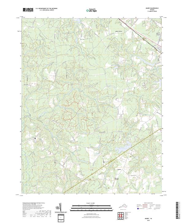
2022 Manry
Sussex County, VA
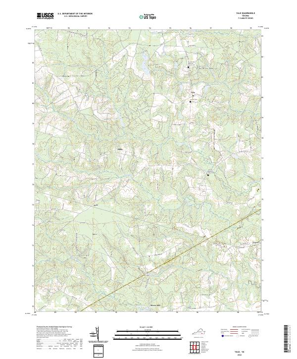
2022 Yale
Sussex County, VA