
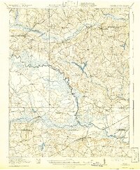
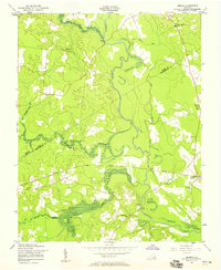
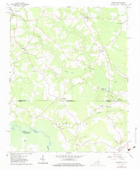
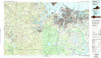
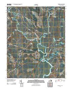
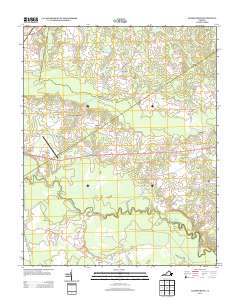
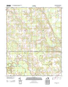
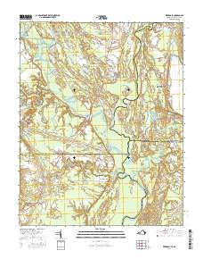
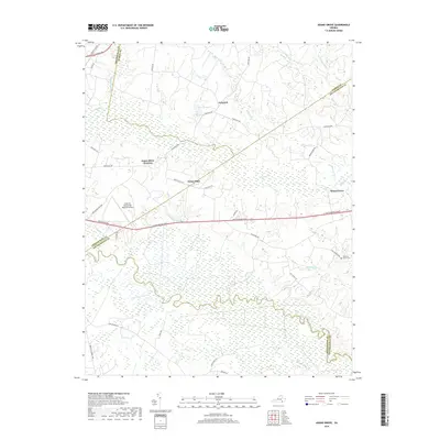
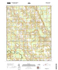
1919 Map of Arringdale
USGS Topo · Published 1919About this map
The Meherrin River snakes through the center of this landscape, marking the winding border between Southampton County and Greensville County. Surveyed in 1918, the map illustrates a rural Virginia-North Carolina borderland where water power and timber resources drove the local economy. Small social centers are frequent, evidenced by a dense network of country schools such as Holly Square School, Vincents School, and the Koskoo School.
Find a feature on this map
58 named features on this map. Tap any name to fly to it.
Don’t see what you’re looking for? This feature index may not catch every label — zoom into the map to look around manually.
Map Details
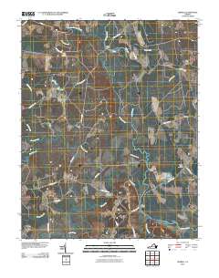
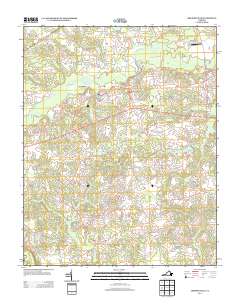
Editions of this 1919 Arringdale Map
This is the sole edition of this map. No revisions or reprints were ever made.
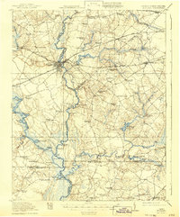
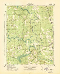
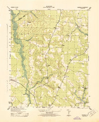
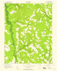
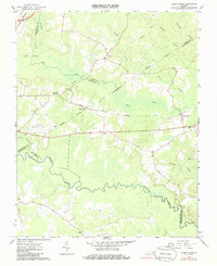
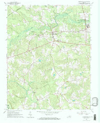
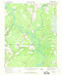
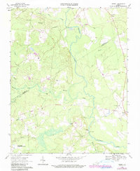
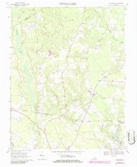
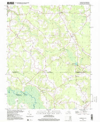
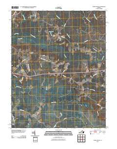
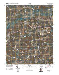
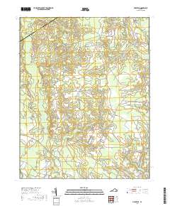
Historical Maps of Branchville Through Time
48 maps found
1919 Arringdale
Southampton County, VA
1920 Arringdale
Southampton County, VA
1920 Holland
Southampton County, VA

1942 Arringdale
Southampton County, VA

1943 Holland
Southampton County, VA
1943 Sebrell
Southampton County, VA
1943 Vicksville
Southampton County, VA

1957 Holland
Southampton County, VA
1957 Sebrell
Southampton County, VA
1957 Vicksville
Southampton County, VA
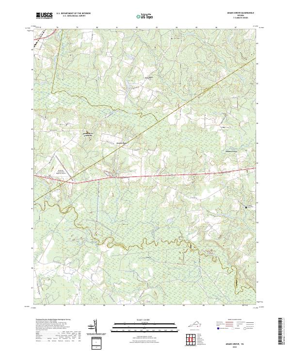
1966 Adams Grove
Southampton County, VA
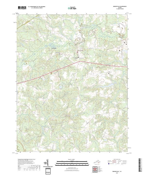
1966 Drewryville
Southampton County, VA
1966 Sunbeam
Southampton County, VA
1967 Riverdale
Southampton County, VA
1968 Sebrell
Southampton County, VA
1969 Vicksville
Southampton County, VA
1985 Norfolk
Southampton County, VA
1997 Sunbeam
Southampton County, VA
2010 Adams Grove
Southampton County, VA
2010 Drewryville
Southampton County, VA
2010 Riverdale
Southampton County, VA
2010 Sebrell
Southampton County, VA
2010 Sunbeam
Southampton County, VA
2010 Vicksville
Southampton County, VA
2013 Adams Grove
Southampton County, VA
2013 Drewryville
Southampton County, VA
2013 Riverdale
Southampton County, VA
2013 Sebrell
Southampton County, VA
2013 Sunbeam
Southampton County, VA
2013 Vicksville
Southampton County, VA
2016 Adams Grove
Southampton County, VA
2016 Drewryville
Southampton County, VA
2016 Riverdale
Southampton County, VA
2016 Sebrell
Southampton County, VA
2016 Sunbeam
Southampton County, VA
2016 Vicksville
Southampton County, VA
2019 Adams Grove
Southampton County, VA
2019 Drewryville
Southampton County, VA
2019 Riverdale
Southampton County, VA
2019 Sebrell
Southampton County, VA
2019 Sunbeam
Southampton County, VA
2019 Vicksville
Southampton County, VA
2022 Adams Grove
Southampton County, VA
2022 Drewryville
Southampton County, VA
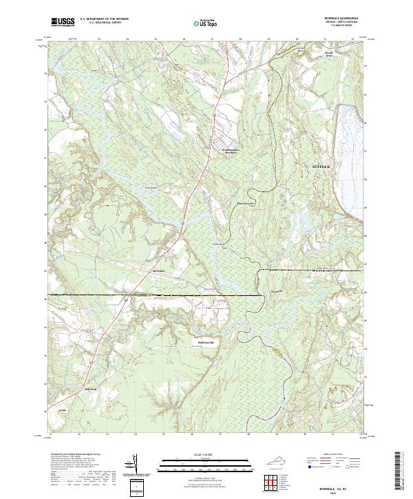
2022 Riverdale
Southampton County, VA
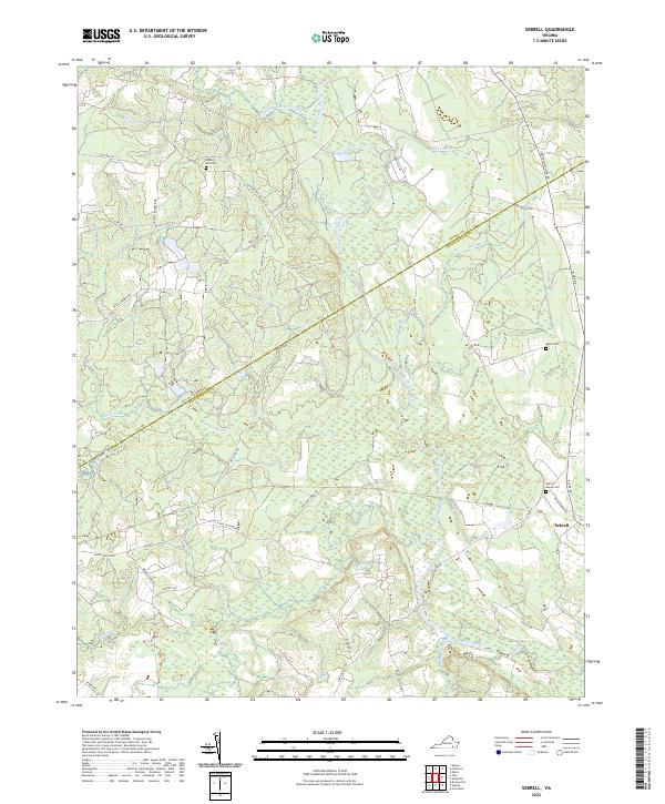
2022 Sebrell
Southampton County, VA
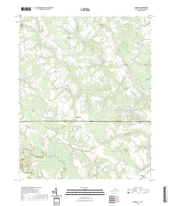
2022 Sunbeam
Southampton County, VA
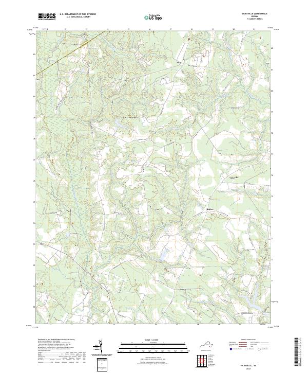
2022 Vicksville
Southampton County, VA