
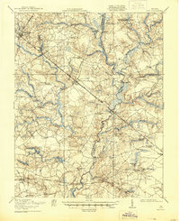
1920 Map of Ivor
USGS Topo · Published 1920About this map
The Blackwater River snakes through the heart of this coastal plain landscape, defining the boundary between Southampton and Isle of Wight counties. This 1918-1919 survey reveals a region defined by extensive wetlands and an economy tied to its waterways and rail lines. Major transportation corridors include the Norfolk and Western and the Virginian railroads, which facilitated the growth of settlements like Ivor, Wakefield, and Zuni.
Find a feature on this map
74 named features on this map. Tap any name to fly to it.
Don’t see what you’re looking for? This feature index may not catch every label — zoom into the map to look around manually.
Map Details
Editions of this 1920 Ivor Map
2 editions found
Other maps of this area

1907 · Yorktown
USGS Topo · 1:62,500

1919 · Smithfield
USGS Topo · 1:62,500

1919 · Suffolk
USGS Topo · 1:62,500

1919 · Surry
USGS Topo · 1:62,500

1919 · Disputanta
USGS Topo · 1:62,500

1919 · Homeville
USGS Topo · 1:48,000

1919 · Boykins
USGS Topo · 1:48,000

1920 · Holland
USGS Topo · 1:62,500

1920 · Homeville
USGS Topo · 1:62,500

1920 · Boykins
USGS Topo · 1:62,500