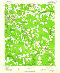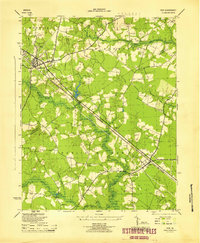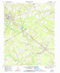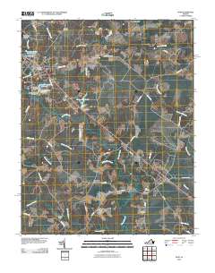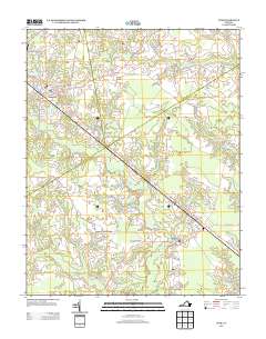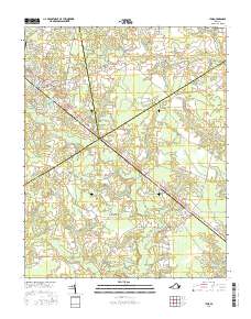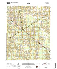
1920 Map of Ivor
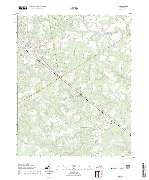
USGS Topo · Published 1944About this map
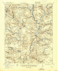
The Blackwater River winds through the heart of this coastal plain landscape, defining the jagged border between Southampton and Isle of Wight counties. The settlement pattern of the early twentieth century is deeply tied to the dual rail lines of the Norfolk and Western and the Virginian railroads, which facilitated the movement of timber and agricultural goods from towns like Ivor, Wakefield, and Zuni. Extensive wetlands such as Seacock Swamp and Gwaltney Swamp dominate the low-lying areas, while localized industry is evidenced by Whitefields Millpond and Keeds Dam. Social life centered on numerous small rural institutions, including Tucker Swamp Church, Morning Star Church, and scattered local education centers like Crumplers School and Jericho School. The map captures a transition era where traditional water-powered sites existed alongside a growing transportation network of bridges like Proctors Bridge.
Find a feature on this map
68 named features on this map. Tap any name to fly to it.
Don’t see what you’re looking for? This feature index may not catch every label — zoom into the map to look around manually.
Map Details
Editions of this 1920 Ivor Map
2 editions found

Historical Maps of Windsor Through Time
9 maps found