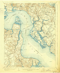
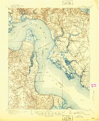
1907 Map of Yorktown
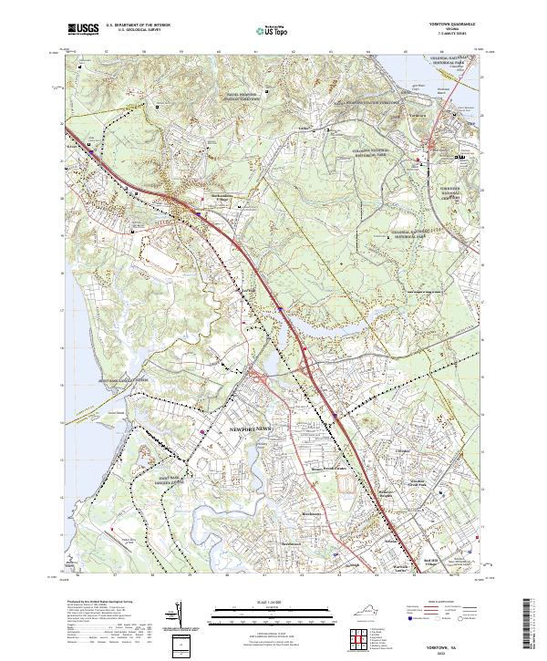
USGS Topo · Published 1931About this map
Yorktown and its surrounding defensive landscape stand as a central focus of this coastal Virginia study, which reveals a terrain deeply marked by military history. Defensive remnants such as Old Earthworks, the Old Fort, and Old Fort Mc Pherson line the high ground, while the National Cem serves as a reminder of the region's historical significance. The map traces the winding course of the James River and Warwick River, where maritime activity is evident through the Pagan Steamboat Route and numerous docks like Fergussons Wharf and Kings Mill (Old Wharf).
Find a feature on this map
97 named features on this map. Tap any name to fly to it.
Don’t see what you’re looking for? This feature index may not catch every label — zoom into the map to look around manually.
Map Details
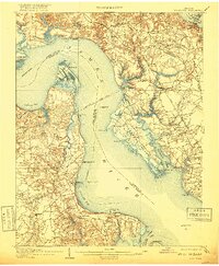
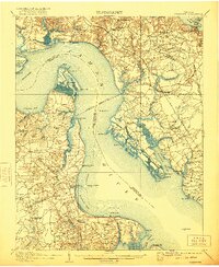
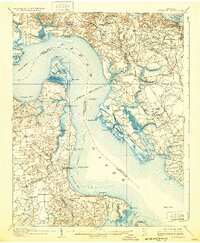
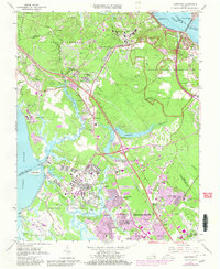
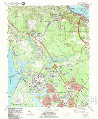
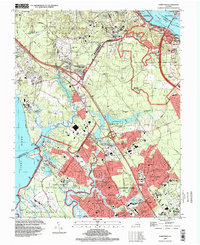
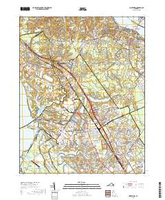
Editions of this 1907 Yorktown Map
6 editions found

Historical Maps of Smithfield Through Time
13 maps found
1907 Yorktown
York County, VA

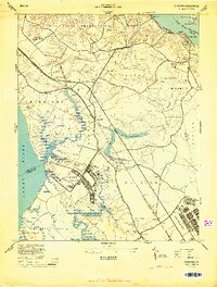
1943 Yorktown
York County, VA
1944 Yorktown
York County, VA
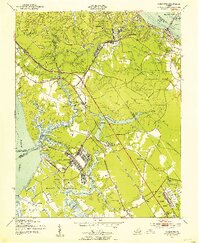
1950 Yorktown
York County, VA
1957 Yorktown
York County, VA
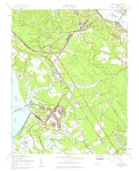
1965 Yorktown
York County, VA
1984 Yorktown
York County, VA
1994 Yorktown
York County, VA

2010 Yorktown
York County, VA

2013 Yorktown
York County, VA

2016 Yorktown
York County, VA
2019 Yorktown
York County, VA
2022 Yorktown
York County, VA