
1921 Map of Newport News
USGS Topo · Published 1921About this map
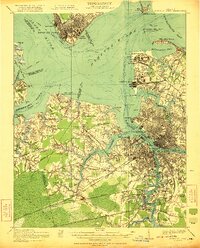
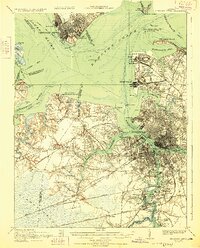
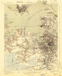
Hampton Roads serves as the central focal point of this coastal landscape, where the James River, Nansemond River, and the branches of the Elizabeth River converge. This era is defined by heavy military and industrial investment, as seen in the expansive Camp Stuart and the Pig Point Ordnance Depot. The dense urban centers of Newport News, Norfolk, and Portsmouth are interconnected by a sophisticated rail network, including the Atlantic Coast Line, Southern, and Seaboard Air Line.
Find a feature on this map
104 named features on this map. Tap any name to fly to it.
Don’t see what you’re looking for? This feature index may not catch every label — zoom into the map to look around manually.
Map Details
Editions of this 1921 Newport News Map
4 editions found
Other maps of this area

1907 · Norfolk
USGS Topo · 1:125,000

1907 · Yorktown
USGS Topo · 1:62,500

1907 · Hampton
USGS Topo · 1:62,500

1918 · Cape Henry
USGS Topo · 1:62,500

1919 · Smithfield
USGS Topo · 1:62,500

1919 · Suffolk
USGS Topo · 1:62,500

1919 · Cape Henry
USGS Topo · 1:62,500

1939 · Moyock
USGS Topo · 1:62,500

1940 · Lake Drummond
USGS Topo · 1:62,500

1943 · Yorktown
USGS Topo · 1:62,500