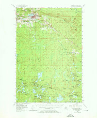
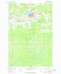
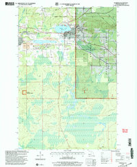
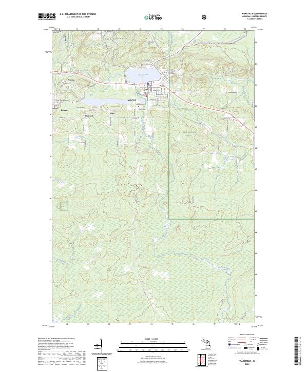
1990 Map of Wakefield
USGS Topo · Published 1990About this map
Gogebic Lake and the dense timberlands of the Ottawa National Forest anchor this 1990 survey of the borderlands between the Upper Peninsula of Michigan and Northern Wisconsin. The landscape is defined by its timber and transportation history, featuring the tracks of the Chicago & North Western RR and the Soo Line RR which historically moved ore and lumber through settlements like Wakefield and Watersmeet. To the south, the map details the lake-rich terrain of the Northern Highland State Forest and the Lac Du Flambeau Indian Reservation. Water control and conservation are evident at Bond Falls Flowage and the Powell Marsh State Wildlife Area. This composite record, based on data from 1952 through 1975, preserves the mid-century footprint of small aviation at Marenisco Landing Strip and Boulder Junction Airport alongside the network of forest lookout towers that once guarded the Northwoods.
Find a feature on this map
202 named features on this map. Tap any name to fly to it.
Don’t see what you’re looking for? This feature index may not catch every label — zoom into the map to look around manually.
Map Details
Editions of this 1990 Wakefield Map
This is the sole edition of this map. No revisions or reprints were ever made.
Historical Maps of Lac du Flambeau Through Time
9 maps found