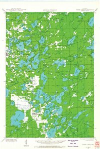
1928 Map of Three Lakes
USGS Topo · Published 1928About this map
Eagle River and the settlement of Three Lakes anchor this late 1920s survey of the northern Wisconsin lake country. Compiled from early Air Corps aerial photography, the map reveals an intricate network of waterways including the massive Thunder Lake and the connected chain featuring Catfish Lake, Cranberry Lake, and Planting Ground Lake. The landscape is defined by the early development of State and County roads, which began to replace older trails to serve a growing regional interest in the Northwoods. Local education is represented by the remote Mayo Sch in the north and Evergreen Sch further south. Notable water bodies such as Columbus Lake and Scattering Rice Lake reflect the glacial topography of Vilas and Oneida Counties, while the southern reaches show the small community of Hutchinson near the transition to Sugar Camp.
Find a feature on this map
89 named features on this map. Tap any name to fly to it.
Don’t see what you’re looking for? This feature index may not catch every label — zoom into the map to look around manually.
Map Details
Editions of this 1928 Three Lakes Map
This is the sole edition of this map. No revisions or reprints were ever made.
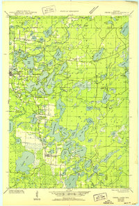
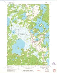
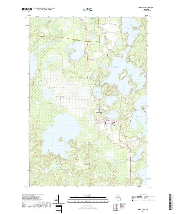
Historical Maps of Three Lakes Through Time
5 maps found