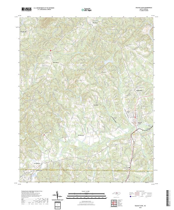
2022 Map of Walnut Cove
USGS Topo · Published 2022About this map
Walnut Cove and Germanton anchor this 2022 survey of the North Carolina piedmont, where the Stokes Co Forsyth Co line divides a landscape of deep creek valleys and rising ridges. The area is defined by the drainage of Town Fork Creek and its many tributaries, including Neatman Creek and Voss Creek, which flow through the rolling terrain toward the Dan River in the northeast. The transport network reflects both old rural routes and industrial heritage, with the Norfolk Southern railroad passing through the heart of the region near Brook Cove.
Find a feature on this map
175 named features on this map. Tap any name to fly to it.
Don’t see what you’re looking for? This feature index may not catch every label — zoom into the map to look around manually.
Map Details
Editions of this 2022 Walnut Cove Map
This is the sole edition of this map. No revisions or reprints were ever made.
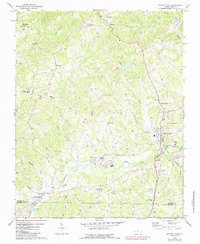
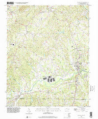
Historical Maps of Brook Cove Through Time
3 maps found