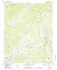
1971 Map of Walnut Cove
USGS Topo · Published 1987About this map
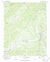
Walnut Cove serves as the focal point for this survey of the northern Piedmont, where the Norfolk and Western and Southern railroads intersect along the banks of Western Creek. The landscape transition from the higher elevations of Piney Mountain toward the Town Fork Creek valley reveals a community structured by old country roads and rural institutions. Numerous landmarks of local history are present, from the South Stokes High Sch and Meadow Brook Airfield to several family-named and community churches including Fulp Memorial Ch, Bethel Ch, and St Marks Ch.
Find a feature on this map
56 named features on this map. Tap any name to fly to it.
Don’t see what you’re looking for? This feature index may not catch every label — zoom into the map to look around manually.
Map Details
Editions of this 1971 Walnut Cove Map
3 editions found
Other maps of this area

1951 · Rural Hall
USGS Topo · 1:24,000

1951 · Walkertown
USGS Topo · 1:24,000

1953 · Winston-Salem
USGS Topo · 1:250,000

1955 · Winston-Salem
USGS Topo · 1:250,000

1962 · Winston-Salem
USGS Topo · 1:250,000

1964 · Hanging Rock
USGS Topo · 1:24,000

1964 · King
USGS Topo · 1:24,000

1969 · Belews Creek
USGS Topo · 1:24,000
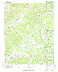
1971 · Walnut Cove
USGS Topo · 1:24,000
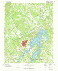
1971 · Belews Lake
USGS Topo · 1:24,000