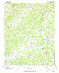
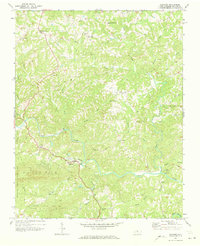
1971 Map of Walnut Cove
USGS Topo · Published 1973About this map
The Dan River winds through the northeastern corner of this landscape, while the lower half of the quadrangle is defined by the convergence of rail and water near the Stokes and Forsyth county line. The Southern and Norfolk and Western railroads intersect at Walnut Cove, highlighting its role as a regional transportation hub. Further west, the settlement of Germanton sits near the banks of Town Fork Creek, anchoring an area dotted with small rural communities like Brook Cove and Rosebud.
Find a feature on this map
51 named features on this map. Tap any name to fly to it.
Don’t see what you’re looking for? This feature index may not catch every label — zoom into the map to look around manually.
Map Details
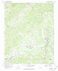
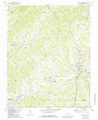
Editions of this 1971 Walnut Cove Map
3 editions found
Other maps of this area

1951 · Rural Hall
USGS Topo · 1:24,000

1951 · Walkertown
USGS Topo · 1:24,000

1953 · Winston-Salem
USGS Topo · 1:250,000

1955 · Winston-Salem
USGS Topo · 1:250,000

1962 · Winston-Salem
USGS Topo · 1:250,000

1964 · Hanging Rock
USGS Topo · 1:24,000

1964 · King
USGS Topo · 1:24,000

1969 · Belews Creek
USGS Topo · 1:24,000
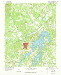
1971 · Belews Lake
USGS Topo · 1:24,000
1971 · Danbury
USGS Topo · 1:24,000