
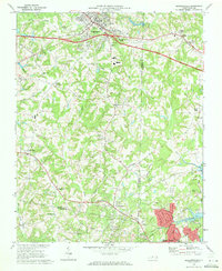
1951 Map of Walkertown
USGS Topo · Published 1953About this map
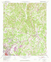
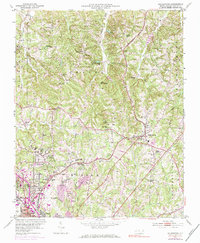
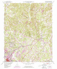
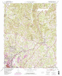
The Smith Reynolds Airport anchors the southwestern edge of this Forsyth County landscape, serving as a modern gateway just as the suburbs of Winston-Salem began expanding northward into the rural townships of Middle Fork and Salem Chapel. This era of growth is visible in the emergence of residential neighborhoods like Montview and Brookwood, which contrast with the older, rail-centered hub of Walkertown to the east. The transportation network is a blend of the old and new, where the Norfolk and Western and Southern railroads intersect historic thoroughfares such as Old Stage Road.
Find a feature on this map
66 named features on this map. Tap any name to fly to it.
Don’t see what you’re looking for? This feature index may not catch every label — zoom into the map to look around manually.
Map Details
Editions of this 1951 Walkertown Map
5 editions found
Other maps of this area

1950 · Winston-Salem West
USGS Topo · 1:24,000

1950 · Winston-Salem East
USGS Topo · 1:24,000

1951 · Winston-Salem West
USGS Topo · 1:24,000

1951 · Winston-Salem East
USGS Topo · 1:24,000

1951 · Rural Hall
USGS Topo · 1:24,000

1953 · Winston-Salem
USGS Topo · 1:250,000

1955 · Winston-Salem
USGS Topo · 1:250,000

1962 · Winston-Salem
USGS Topo · 1:250,000

1964 · King
USGS Topo · 1:24,000
1969 · Kernersville
USGS Topo · 1:24,000