
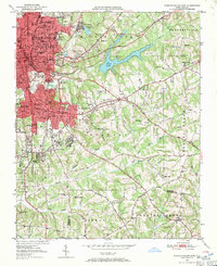
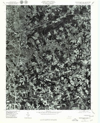
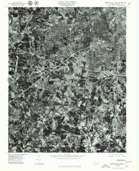
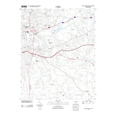
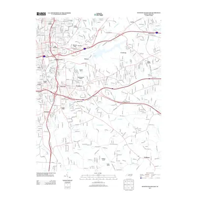
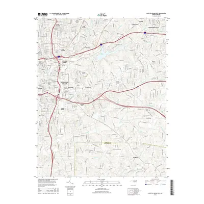
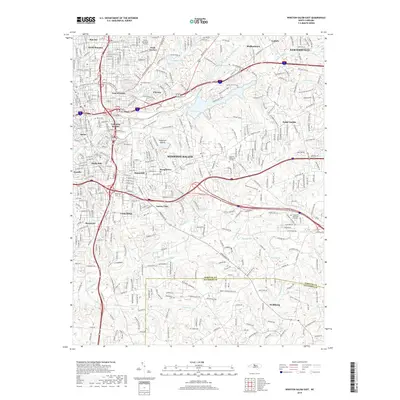
1950 Map of Winston-Salem East
USGS Topo · Published 1965About this map
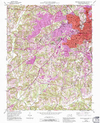
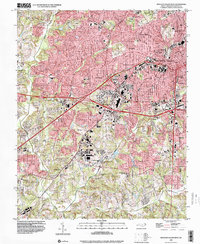
Winston-Salem's eastern residential and educational core dominates the northwest corner of this mid-century survey, showing the city's early suburban expansion through Columbia Heights, Sunnyside, and Waughtown. The map captures a moment when institutional anchors like State Teachers College, Salem College, and the sprawling Bowman Gray Stadium were central to the community's layout. Industrial and transportation hubs are prominent, including the Smith Reynolds Airport and the operations of the Southern and Winston-Salem Southbound railroads.
Find a feature on this map
91 named features on this map. Tap any name to fly to it.
Don’t see what you’re looking for? This feature index may not catch every label — zoom into the map to look around manually.
Map Details
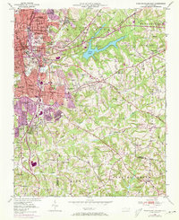
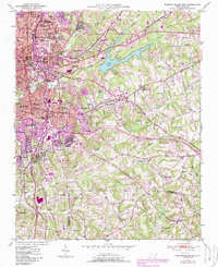
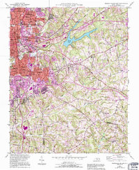
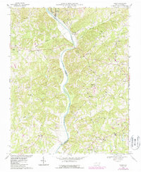
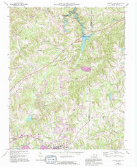
Editions of this 1950 Winston-Salem East Map
5 editions found
Historical Maps of Winston-Salem Through Time
33 maps found
1950 Winston-Salem East
Forsyth County, NC
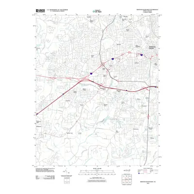
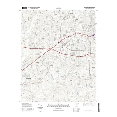
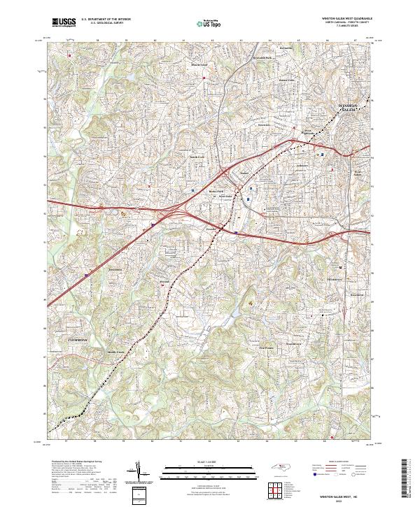
1950 Winston-Salem West
Forsyth County, NC

1951 Winston-Salem East
Forsyth County, NC

1951 Winston-Salem West
Forsyth County, NC
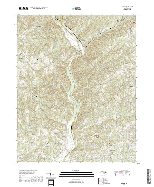
1968 Vienna
Forsyth County, NC
1969 Belews Creek
Forsyth County, NC
1977 Belews Creek
Forsyth County, NC
1977 Winston-Salem East
Forsyth County, NC
1977 Winston-Salem West
Forsyth County, NC
1997 Vienna
Forsyth County, NC
1997 Winston-Salem East
Forsyth County, NC
1997 Winston-Salem West
Forsyth County, NC
2000 Belews Creek
Forsyth County, NC
2010 Belews Creek
Forsyth County, NC
2010 Vienna
Forsyth County, NC
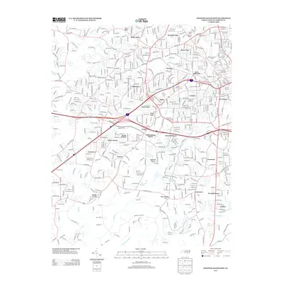
2010 Winston-Salem East
Forsyth County, NC
2010 Winston-Salem West
Forsyth County, NC
2013 Belews Creek
Forsyth County, NC
2013 Vienna
Forsyth County, NC
2013 Winston-Salem East
Forsyth County, NC
2013 Winston-Salem West
Forsyth County, NC
2016 Belews Creek
Forsyth County, NC
2016 Vienna
Forsyth County, NC
2016 Winston-Salem East
Forsyth County, NC
2016 Winston-Salem West
Forsyth County, NC
2019 Belews Creek
Forsyth County, NC
2019 Vienna
Forsyth County, NC
2019 Winston-Salem East
Forsyth County, NC
2019 Winston-Salem West
Forsyth County, NC
2022 Belews Creek
Forsyth County, NC
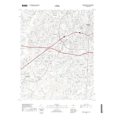
2022 Winston-Salem East
Forsyth County, NC
2022 Winston-Salem West
Forsyth County, NC
2023 Vienna
Forsyth County, NC