
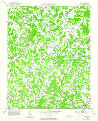
1949 Map of Eller
USGS Topo · Published 1952About this map
Abbotts Creek and its many tributaries, including Brushy Fork, Rich Fork, and Leonard Creek, define the rolling drainage patterns of this rural landscape spanning the border of Forsyth and Davidson counties. In the late 1940s, the area remained largely agricultural, evidenced by the dense network of country roads and the concentration of social centers such as Midway School, Pilot School, and numerous local congregations.
Find a feature on this map
37 named features on this map. Tap any name to fly to it.
Don’t see what you’re looking for? This feature index may not catch every label — zoom into the map to look around manually.
Map Details
Editions of this 1949 Eller Map
2 editions found
Other maps of this area

1949 · High Point West
USGS Topo · 1:24,000

1950 · Winston-Salem West
USGS Topo · 1:24,000

1950 · Lexington East
USGS Topo · 1:24,000

1950 · Winston-Salem East
USGS Topo · 1:24,000

1950 · Lexington West
USGS Topo · 1:24,000

1951 · Winston-Salem West
USGS Topo · 1:24,000

1951 · Winston-Salem East
USGS Topo · 1:24,000

1951 · Lexington East
USGS Topo · 1:24,000

1951 · Lexington West
USGS Topo · 1:24,000

1951 · Fair Grove
USGS Topo · 1:24,000