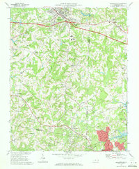
1969 Map of Kernersville
USGS Topo · Published 1972About this map
Kernersville serves as a central hub on this North Carolina landscape, where the Southern Ry runs parallel to the developing highway system connecting to nearby Colfax and the expanding northern edge of High Point. The map captures a moment of transition in the late 1960s, showing the concentration of education and faith at sites like Southern Pilgrim College and Sedge Garden Chapel. Small, historic crossroads communities such as Beeson Crossroads, Union Cross, and Teaguetown remain distinct, scattered among the headwaters of Abbotts Creek and Deep River. These settlements, along with curiously named places like Horneytown, reflect a pattern of rural development defined by local churches and schools like Glenn Sch, situated just before the suburban expansion intensified in the Piedmont Triad region.
Find a feature on this map
56 named features on this map. Tap any name to fly to it.
Don’t see what you’re looking for? This feature index may not catch every label — zoom into the map to look around manually.
Map Details
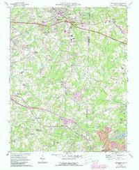
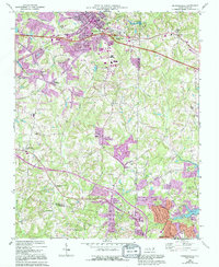
Editions of this 1969 Kernersville Map
3 editions found
Other maps of this area

1949 · Eller
USGS Topo · 1:24,000

1949 · High Point West
USGS Topo · 1:24,000

1950 · High Point East
USGS Topo · 1:24,000

1950 · Winston-Salem East
USGS Topo · 1:24,000

1951 · Winston-Salem East
USGS Topo · 1:24,000

1951 · High Point East
USGS Topo · 1:24,000

1951 · Guilford
USGS Topo · 1:24,000

1951 · Walkertown
USGS Topo · 1:24,000

1953 · Raleigh
USGS Topo · 1:250,000

1953 · Charlotte
USGS Topo · 1:250,000