
1964 Map of King
USGS Topo · Published 1965About this map
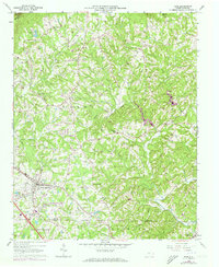
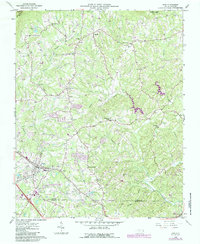
The southern slopes of Sauratown Mtn descend into a network of creek valleys and small rural communities in the mid-1960s. The town of King serves as a primary hub for this portion of the Piedmont, where the Southern railway line runs parallel to White Road. To the north, the landscape is defined by the headwaters of the Little Yadkin River and the East Prong, with ridges dotted by numerous country churches such as Taylor Chapel and Mount Olive Ch. Regional transportation is well-established, including the King Airport and a drive-in theater, reflecting the area's mid-century development. The survey also captures the boundary between Stokes Co and Forsyth Co, showing the agrarian transition into Bethania and Old Richmond as the terrain levels out toward the south.
Find a feature on this map
63 named features on this map. Tap any name to fly to it.
Don’t see what you’re looking for? This feature index may not catch every label — zoom into the map to look around manually.
Map Details
Editions of this 1964 King Map
3 editions found
Other maps of this area

1951 · Rural Hall
USGS Topo · 1:24,000

1951 · Walkertown
USGS Topo · 1:24,000

1953 · Winston-Salem
USGS Topo · 1:250,000

1955 · Winston-Salem
USGS Topo · 1:250,000

1962 · Winston-Salem
USGS Topo · 1:250,000

1964 · Hanging Rock
USGS Topo · 1:24,000

1964 · Pinnacle
USGS Topo · 1:24,000

1964 · Pilot Mountain
USGS Topo · 1:24,000
1968 · Vienna
USGS Topo · 1:24,000
1971 · Walnut Cove
USGS Topo · 1:24,000