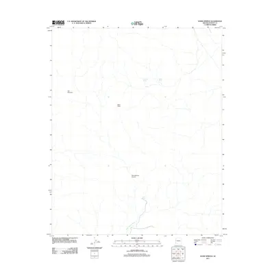
2011 Map of Warm Springs
USGS Topo · Published 2011About this map
Warm Springs serves as a vital water source in this arid corner of Mohave County, where the topography is defined by the significant rise of Ute Mountain and the broad plateau of Black Mesa. The drainage patterns are clearly delineated, showing the course of Warm Springs Wash as it moves through the canyon floor. The map records several other critical water points in the high desert landscape, including Antelope Spring and Alkali Spring. This 2011 survey focuses on the hydrography and elevation of Warm Springs Canyon, providing a precise record of the desert's natural water infrastructure and terrain features before more recent environmental shifts in the region.
Find a feature on this map
7 named features on this map. Tap any name to fly to it.
Don’t see what you’re looking for? This feature index may not catch every label — zoom into the map to look around manually.
Map Details
Editions of this 2011 Warm Springs Map
This is the sole edition of this map. No revisions or reprints were ever made.
Other maps of this area

1886 · Camp Mohave
USGS Topo · 1:250,000

1892 · Camp Mohave
USGS Topo · 1:250,000

1903 · Needles
USGS Topo · 1:125,000

1904 · Needles Special
USGS Topo · 1:125,000

1927 · Yucca
USGS Topo · 1:62,500

1929 · Yucca
USGS Topo · 1:62,500

1942 · Camp Mohave
USGS Topo · 1:250,000

1947 · Kingman
USGS Topo · 1:250,000

1948 · Kingman
USGS Topo · 1:250,000

1954 · Needles
USGS Topo · 1:250,000