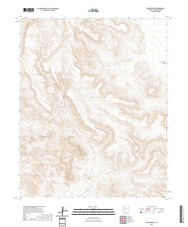
2021 Map of Warm Springs
USGS Topo · Published 2021About this map
Warm Springs and its surrounding desert hydrology anchor this 2021 study of Mohave County. Situated within the Black Mountains, the landscape is defined by its arid drainage patterns, ranging from the steep confines of Warm Springs Canyon to the broad alluvial reach of Warm Springs Wash. High points like Black Mesa and Ute Mtn dominate the horizon, marking the transition between the rugged volcanic peaks and the western edge of the Sacramento Valley.
Find a feature on this map
17 named features on this map. Tap any name to fly to it.
Don’t see what you’re looking for? This feature index may not catch every label — zoom into the map to look around manually.
Map Details
Editions of this 2021 Warm Springs Map
This is the sole edition of this map. No revisions or reprints were ever made.
Other maps of this area

1886 · Camp Mohave
USGS Topo · 1:250,000

1892 · Camp Mohave
USGS Topo · 1:250,000

1903 · Needles
USGS Topo · 1:125,000

1904 · Needles Special
USGS Topo · 1:125,000

1927 · Yucca
USGS Topo · 1:62,500

1929 · Yucca
USGS Topo · 1:62,500

1942 · Camp Mohave
USGS Topo · 1:250,000

1947 · Kingman
USGS Topo · 1:250,000

1948 · Kingman
USGS Topo · 1:250,000

1954 · Needles
USGS Topo · 1:250,000