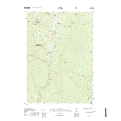
2021 Map of Warren
USGS Topo · Published 2021About this map
The Mad River carves through the heart of the Green Mountain National Forest, where the village of Warren and its nearby Warren Covered Bridge serve as focal points for this Vermont landscape. Settlement patterns follow the valley floors and lower slopes, from the high mountain crossroads of East Warren to the seasonal layout of Alpine Village. This documentation of the area captures a transition from traditional agricultural lands, represented by the Warren Cem and East Warren Cem, to a recreational economy centered around Blueberry Lake and the various trails through the Northfield Mountains. Steep terrain dominates much of the quadrangle, with Roxbury Gap providing a vital passage through the heights between the Mad River and the Dog River headwaters. In the south, the isolated East Granville cluster sits along the Third Br White River, separated from the northern settlements by the high peaks of Rice Mtn and Adams Mtn.
Find a feature on this map
92 named features on this map. Tap any name to fly to it.
Don’t see what you’re looking for? This feature index may not catch every label — zoom into the map to look around manually.
Map Details
Editions of this 2021 Warren Map
This is the sole edition of this map. No revisions or reprints were ever made.
Other maps of this area

1915 · Rochester
USGS Topo · 1:62,500

1917 · Rochester
USGS Topo · 1:62,500

1919 · Royalton
USGS Topo · 1:62,500

1919 · Lincoln Mountain
USGS Topo · 1:62,500

1920 · Lincoln Mountain
USGS Topo · 1:48,000

1921 · Lincoln Mountain
USGS Topo · 1:62,500

1922 · Barre
USGS Topo · 1:48,000

1924 · Barre
USGS Topo · 1:62,500

1924 · Randolph
USGS Topo · 1:48,000

1926 · Randolph
USGS Topo · 1:62,500