2022 Map of Warsaw
USGS Topo · Published 2022About this map
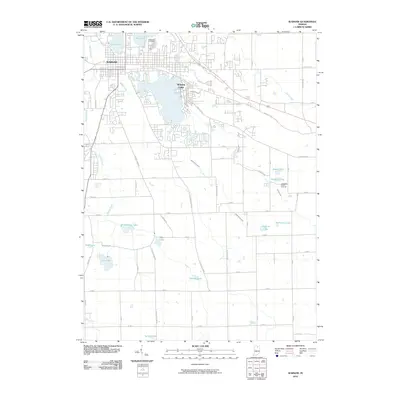
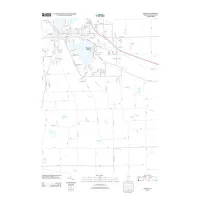
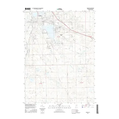
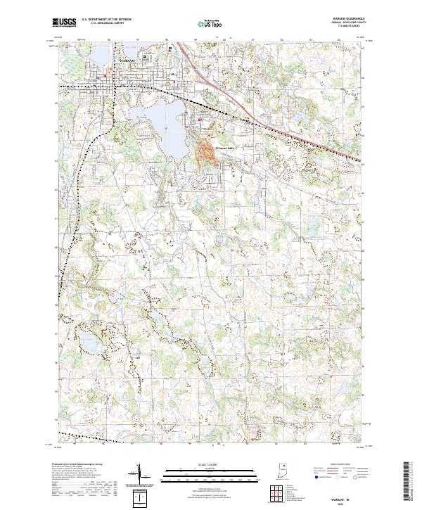
The Kosciusko County Courthouse stands at the heart of Warsaw, anchoring a landscape where civic life meets an extensive network of glacial waters. This 2022 survey captures the modern footprint of the county seat as it expands toward Winona Lake, where the campus of Grace Theological Seminary is situated along the eastern shore. The geography is defined by a dense cluster of water bodies, from Pike Lake in the north to a chain of smaller southern lakes including Carr Lake, Fish Lake, and Stafford Lake. This pattern of settlement and hydrology reveals the enduring importance of the region's natural basins in shaping local development. Genealogists can locate family sites near the historic Oakwood Cem, while the detailed road network, including W Old Rd 30 and Husky Trl, shows the contemporary transformation of the Indiana countryside.
Find a feature on this map
164 named features on this map. Tap any name to fly to it.
Don’t see what you’re looking for? This feature index may not catch every label — zoom into the map to look around manually.
Map Details
Editions of this 2022 Warsaw Map
This is the sole edition of this map. No revisions or reprints were ever made.
Historical Maps of Warsaw Through Time
6 maps found