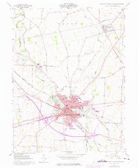
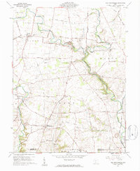
1961 Map of Washington Court House
USGS Topo · Published 1975About this map
The county seat of Washington Court House dominates this mid-century portrait of Fayette County, centered at a vital transportation hub where the Baltimore and Ohio Railroad, Penn Central Railroad, and Detroit Toledo and Ironton Railroad converge. The urban landscape is meticulously detailed, showing the Historical Society, Fairgrounds, and local schools like Sunnyside Sch and Rose Ave Sch. Surrounding the city, the land remains largely agricultural, shaped by Paint Creek and its many tributaries.
Find a feature on this map
89 named features on this map. Tap any name to fly to it.
Don’t see what you’re looking for? This feature index may not catch every label — zoom into the map to look around manually.
Map Details
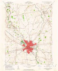
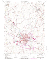
Editions of this 1961 Washington Court House Map
3 editions found
Other maps of this area

1906 · Mt Sterling
USGS Topo · 1:62,500

1916 · Octa
USGS Topo · 1:62,500

1917 · Greenfield
USGS Topo · 1:62,500

1917 · Sabina
USGS Topo · 1:62,500

1943 · Sabina
USGS Topo · 1:62,500

1944 · Greenfield
USGS Topo · 1:62,500

1944 · Octa
USGS Topo · 1:62,500

1947 · Columbus
USGS Topo · 1:250,000
1960 · Good Hope
USGS Topo · 1:24,000
1960 · New Martinsburg
USGS Topo · 1:24,000