2023 Map of Washingtonville
USGS Topo · Published 2023About this map
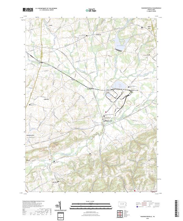
Washingtonville serves as a central hub in this corner of Montour County, where the landscape is defined by the winding course of Chillisquaque Creek and its many branches. The area is characterized by a high concentration of historic burial grounds and rural congregations, such as Saint James Episcopal Church Cem and the Washingtonville Old Methodist Cem. These sites, along with smaller family or community plots like Billmeyer Cem and Madden Cem, provide a dense record of the region’s long-standing agricultural communities.
Find a feature on this map
153 named features on this map. Tap any name to fly to it.
Don’t see what you’re looking for? This feature index may not catch every label — zoom into the map to look around manually.
Map Details
Editions of this 2023 Washingtonville Map
This is the sole edition of this map. No revisions or reprints were ever made.