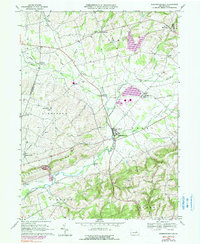
1969 Map of Washingtonville
USGS Topo · Published 1990About this map
Chillisquaque Creek meanders through the heart of this central Pennsylvania landscape, anchoring a series of rural farming communities in the late 1960s. The village of Washingtonville serves as a local hub, featuring the DeLong Memorial Sch and sitting near the intersection of several regional streams including Mud Creek and the West Branch. The terrain is defined by prominent ridges such as Limestone Ridge, while the lowlands support a network of small settlements like Strawberry Ridge, Limestoneville, and Exchange. Cultural life is marked by numerous country churches and cemeteries, including St James Ch and the Beaver Run Cem. Later updates to the survey reveal industrial developments, specifically a large Powerplant and gaging stations, reflecting the evolving infrastructure and energy needs of the region while traditional features like a Covered Bridge remained over the creek.
Find a feature on this map
48 named features on this map. Tap any name to fly to it.
Don’t see what you’re looking for? This feature index may not catch every label — zoom into the map to look around manually.
Map Details
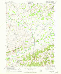
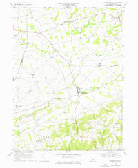
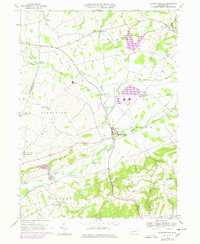
Editions of this 1969 Washingtonville Map
4 editions found
Other maps of this area

1892 · Shamokin
USGS Topo · 1:62,500

1893 · Sunbury
USGS Topo · 1:62,500

1893 · Shamokin
USGS Topo · 1:62,500

1924 · Milton
USGS Topo · 1:62,500

1935 · Hughesville
USGS Topo · 1:62,500

1943 · Shamokin
USGS Topo · 1:62,500

1943 · Sunbury
USGS Topo · 1:62,500

1950 · Harrisburg
USGS Topo · 1:250,000

1952 · Shamokin
USGS Topo · 1:62,500

1953 · Hughesville
USGS Topo · 1:62,500
Featured Places
- Washingtonville, PA
- Lewis Township, PA
- Turbot Township, PA
- Schuyler, Lewis Township
- Limestoneville, Limestone Township