
Loading...
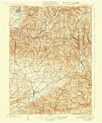
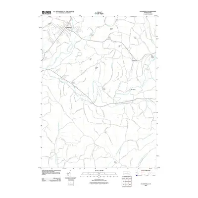
Loading map...1935 Map of Hughesville
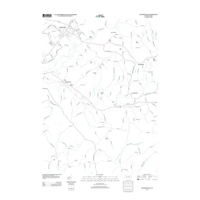
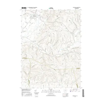
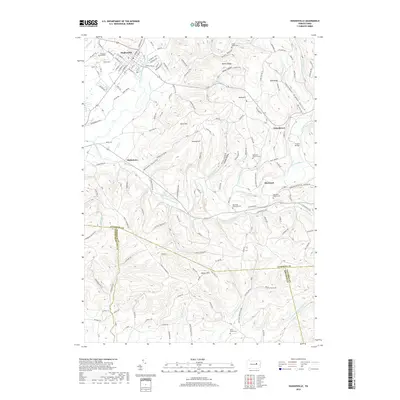
USGS Topo · Published 1935About this map
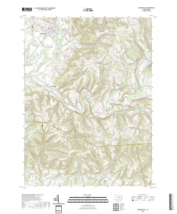
Hughesville sits at the northern edge of a landscape defined by the intricate drainages of Little Muncy Creek and the Chillisquaque Creek system in the mid-1930s. This survey, conducted by C.W. Goodlove, reveals an agricultural and rural network across the borders of Lycoming, Montaur, and Columbia counties. The terrain is densely punctuated by small one-room schoolhouses, such as Steck Sch, Reifsnyder Sch, and California Sch, which reflect the localized social structure of these farming townships before school consolidation.
Find a feature on this map
90 named features on this map. Tap any name to fly to it.
Don’t see what you’re looking for? This feature index may not catch every label — zoom into the map to look around manually.
Map Details
Date Portrayed1935
Date Published1935
PublisherU.S. Geological Survey
Map TypeTopographic
Scale1:62,500
Physical Dimensions16.5 x 20 inches
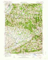
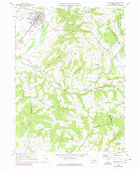
Editions of this 1935 Hughesville Map
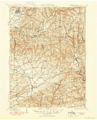
Historical Maps of Greenwood Township Through Time
8 maps found
Featured Locations
Source Details
SourceU.S. Geological Survey
CopyrightPublic Domain