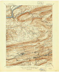
1892 Map of Catawissa
USGS Topo · Published 1892About this map
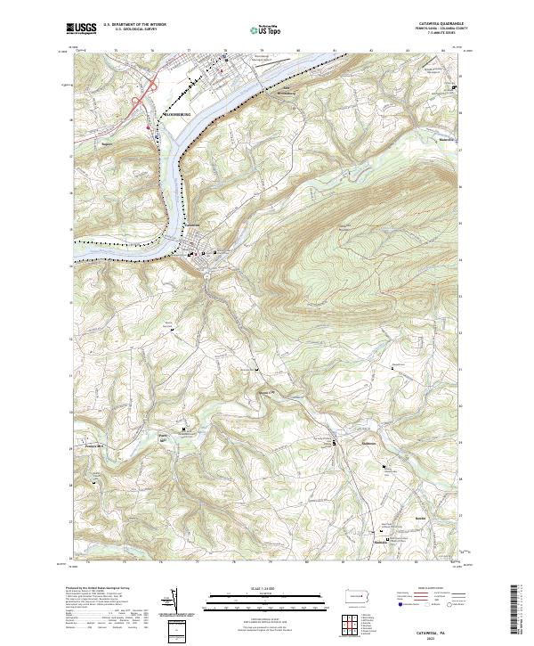
The Susquehanna River bends sharply near Bloomsburg at the northern edge of this survey, where the Bloomsburg Ferry once connected the riverbanks. The landscape is defined by the heavy, parallel ridges of the Pennsylvania anthracite coal region, including Nescopeck Mountain and Locust Mountain. Between these heights, a dense network of nineteenth-century railroads, such as the Lehigh Valley R.R. and the Philadelphia and Reading Railroad, serves the mining communities concentrated in the south.
Find a feature on this map
76 named features on this map. Tap any name to fly to it.
Don’t see what you’re looking for? This feature index may not catch every label — zoom into the map to look around manually.
Map Details
Editions of this 1892 Catawissa Map
This is the sole edition of this map. No revisions or reprints were ever made.
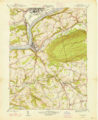
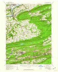
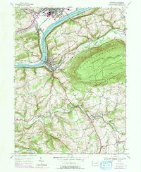
Historical Maps of Bloomsburg Through Time
7 maps found