
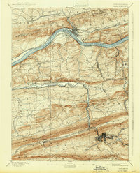
1893 Map of Shamokin
USGS Topo · Published 1893About this map
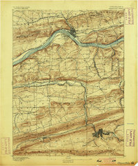
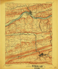
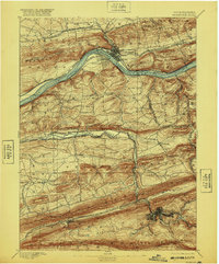
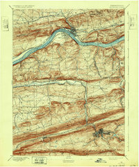
Shamokin and Danville anchor this late nineteenth-century survey, which reveals a landscape heavily shaped by Pennsylvania's coal and rail expansion. The region's complex topography, including the Shamokin Mountain and Mahanoy ridges, is carved by the Susquehanna River North Branch and its tributaries like Shamokin Creek. This period saw an intense concentration of rail infrastructure, with the Philadelphia and Reading Railroad Herndon Division and the Pennsylvania Northern Central Railroad Shamokin Division snaking through narrow valleys to reach industrial hubs. Localities such as Trevorton and Burnside illustrate the era's settlement patterns, where town grids were established in direct proximity to the resource extraction points of Bear Valley. Specialized landmarks like the Weigh Scale near Cabel highlight the logistical precision required for the movement of heavy tonnage from the southern mountains toward the river ports at Riverside and beyond.
Find a feature on this map
65 named features on this map. Tap any name to fly to it.
Don’t see what you’re looking for? This feature index may not catch every label — zoom into the map to look around manually.
Map Details
Editions of this 1893 Shamokin Map
6 editions found
Other maps of this area

1889 · Catawissa
USGS Topo · 1:62,500

1892 · Catawissa
USGS Topo · 1:62,500

1892 · Lykens
USGS Topo · 1:62,500

1892 · Shamokin
USGS Topo · 1:62,500

1892 · Pine Grove
USGS Topo · 1:62,500

1893 · Sunbury
USGS Topo · 1:62,500

1893 · Lykens
USGS Topo · 1:62,500

1893 · Millersburg
USGS Topo · 1:62,500

1894 · Catawissa
USGS Topo · 1:62,500

1894 · Bloomsburg
USGS Topo · 1:62,500