
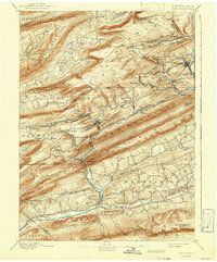
1892 Map of Pine Grove
USGS Topo · Published 1892About this map
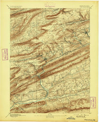
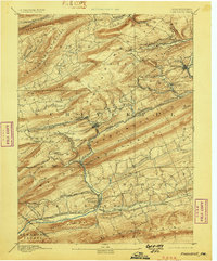
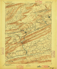
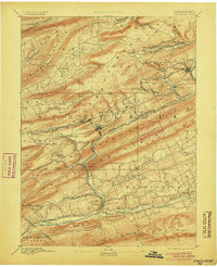
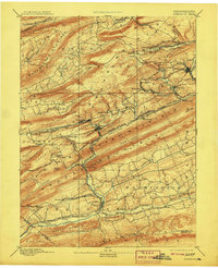
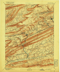
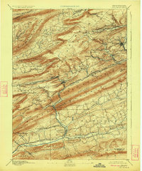
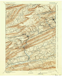
Coal-country industry and steep ridge topography define this late-nineteenth-century survey of the anthracite fields west of Pottsville. The landscape is dominated by the narrow, parallel lines of Peaked Mountain, Red Mountain, and Sharp Mountain, which channeled both the waterways and the early rail networks. Industrial hubs like Minersville, Tremont, and Donaldson are shown at a peak of activity, connected by an intricate web of tracks including the Mine Hill & Schuylkill Haven R.R. and the Philadelphia and Reading Railroad. This network was essential for moving coal from workings like New Mines toward the Schuylkill River. Further south, the terrain softens into the agricultural valleys around Pine Grove and Suedburg, where Swatara Creek and its branches provide the primary drainage. The map preserves the locations of numerous vanished mining settlements and junctions such as Lorberry Junction and Branch Dale before twentieth-century shifts in the energy economy.
Find a feature on this map
85 named features on this map. Tap any name to fly to it.
Don’t see what you’re looking for? This feature index may not catch every label — zoom into the map to look around manually.
Map Details
Editions of this 1892 Pine Grove Map
10 editions found
Other maps of this area

1889 · Catawissa
USGS Topo · 1:62,500

1889 · Pottsville
USGS Topo · 1:62,500

1891 · Pottsville
USGS Topo · 1:62,500

1891 · Lebanon
USGS Topo · 1:62,500

1892 · Catawissa
USGS Topo · 1:62,500

1892 · Lykens
USGS Topo · 1:62,500

1892 · Hummelstown
USGS Topo · 1:62,500

1892 · Shamokin
USGS Topo · 1:62,500

1892 · Mahanoy
USGS Topo · 1:62,500

1893 · Lykens
USGS Topo · 1:62,500