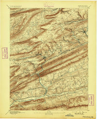
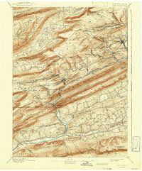
1892 Map of Pinegrove
USGS Topo · Published 1892About this map
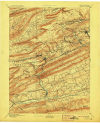
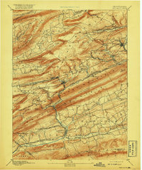
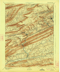
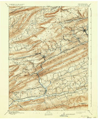
Schuylkill Co. Line terrain is dominated by the complex ridges of the Appalachian Mountains, where the late nineteenth-century coal and timber industries were in full swing. The landscape is defined by the steep slopes of Sharp Mountain and Broad Mountain, which channel the various branches of the Philadelphia and Reading Railroad through narrow valleys. These rail lines, including the Good Spring Creek Branch P. & R. R. R. and the Lebanon & Tremont Branch P. & R. R. R., were the lifeblood of settlements like Minersville, Tremont, and Pine Grove. A striking concentration of activity is visible near New Mines and Glen Carbon, where the industrial infrastructure follows the geological contours of Mine Hill. The convergence of Swatara Creek and the Schuylkill and Susquehanna Branch Philadelphia and Reading Railroad at Pine Grove highlights the area's role as a critical regional transportation hub.
Find a feature on this map
81 named features on this map. Tap any name to fly to it.
Don’t see what you’re looking for? This feature index may not catch every label — zoom into the map to look around manually.
Map Details
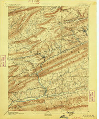
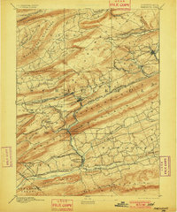
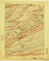
Editions of this 1892 Pinegrove Map
10 editions found
Other maps of this area

1889 · Catawissa
USGS Topo · 1:62,500

1889 · Pottsville
USGS Topo · 1:62,500

1891 · Pottsville
USGS Topo · 1:62,500

1891 · Lebanon
USGS Topo · 1:62,500

1892 · Catawissa
USGS Topo · 1:62,500

1892 · Lykens
USGS Topo · 1:62,500

1892 · Hummelstown
USGS Topo · 1:62,500

1892 · Shamokin
USGS Topo · 1:62,500

1892 · Mahanoy
USGS Topo · 1:62,500

1892 · Pine Grove
USGS Topo · 1:62,500