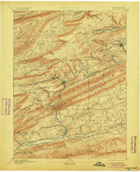
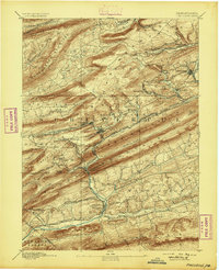
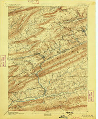
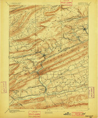
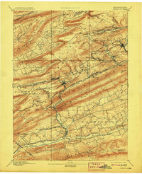
1892 Map of Pinegrove
USGS Topo · Published 1905About this map
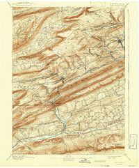
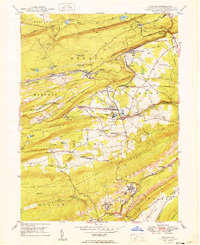
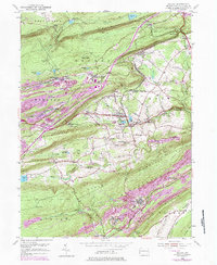
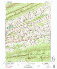
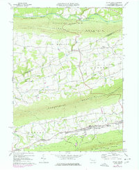
Minersville and the surrounding coal-bearing valleys of central Pennsylvania define this late-nineteenth-century landscape, where industrial infrastructure dominates the terrain between Mahanoy Mountain and Blue Mountain. The map reveals a dense network of transport and extraction, centered on the Mine Hill & Schuylkill Haven RR and the Philadelphia and Reading Railroad. These lines connect concentrated mining hubs like Glen Carbon, Forestville, and Branch Dale, showing the specific rail spurs and branches essential to the anthracite economy of the era.
Find a feature on this map
91 named features on this map. Tap any name to fly to it.
Don’t see what you’re looking for? This feature index may not catch every label — zoom into the map to look around manually.
Map Details
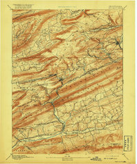
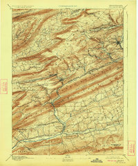
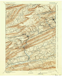
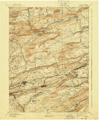
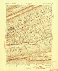
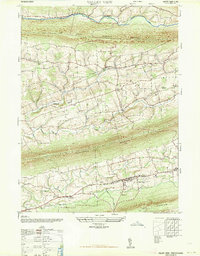
Editions of this 1892 Pinegrove Map
10 editions found

Historical Maps of Bethel Township Through Time
14 maps found

1892 Mahanoy
Schuylkill County, PA
1893 Mahanoy
Schuylkill County, PA
1946 Swatara Hill
Schuylkill County, PA
1947 Valley View
Schuylkill County, PA
1949 Delano
Schuylkill County, PA
1954 Delano
Schuylkill County, PA

1955 Mahanoy
Schuylkill County, PA
1955 Swatara Hill
Schuylkill County, PA
1969 Valley View
Schuylkill County, PA
1976 Delano
Schuylkill County, PA
1999 Delano
Schuylkill County, PA
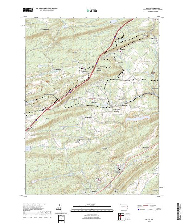
2023 Delano
Schuylkill County, PA
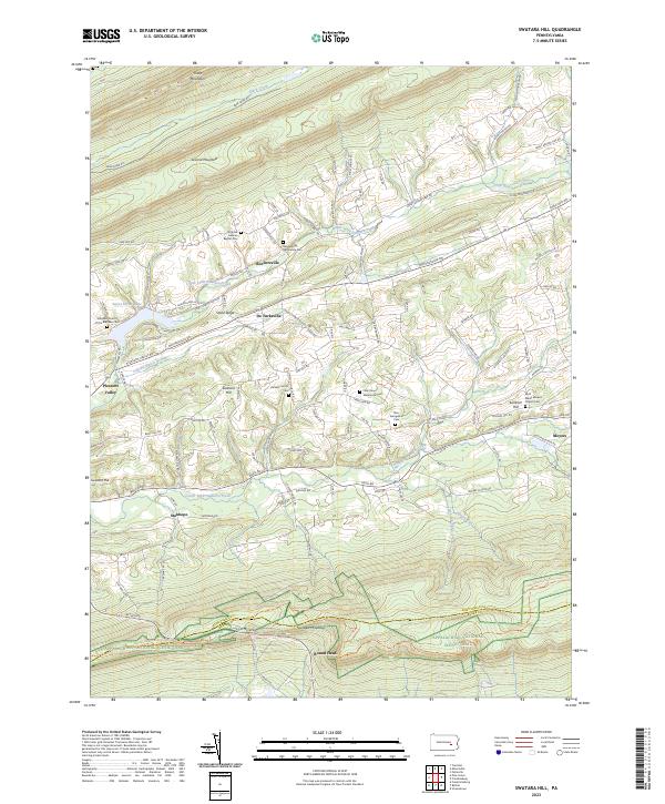
2023 Swatara Hill
Schuylkill County, PA
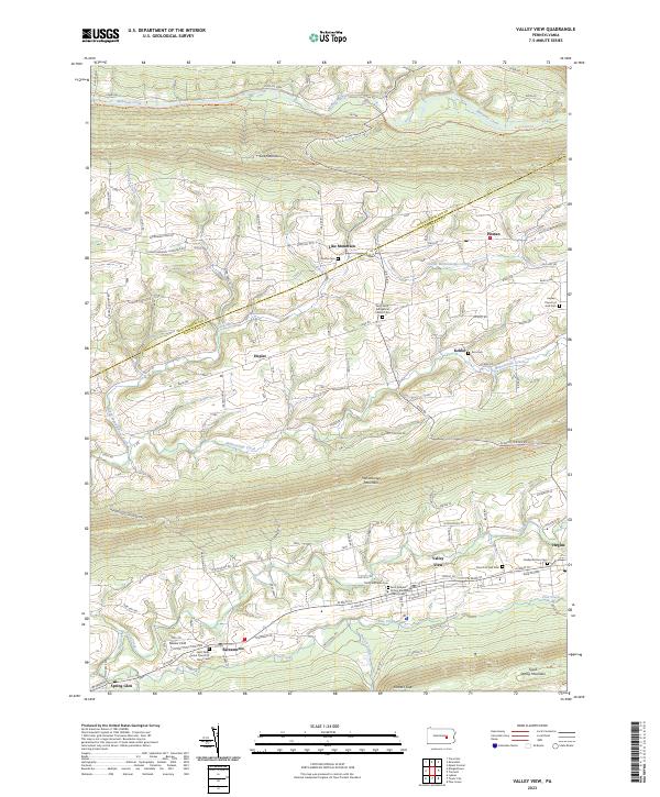
2023 Valley View
Schuylkill County, PA