
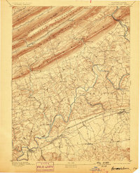
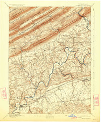
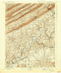
1892 Map of Hummelstown
USGS Topo · Published 1892About this map
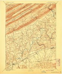
Peters Mountain and its parallel ridges dominate the northern landscape of this 1890 survey, defining the rugged geography of the Dauphin and Lebanon County line. The terrain is marked by prominent natural breaches including Indiantown Gap, Manada Gap, and Swatara Gap, which dictated the early movement of people and commerce through the region. To the south, the limestone valleys supported an established network of villages and infrastructure.
Find a feature on this map
62 named features on this map. Tap any name to fly to it.
Don’t see what you’re looking for? This feature index may not catch every label — zoom into the map to look around manually.
Map Details
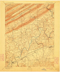
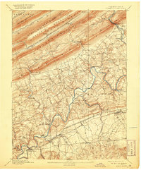
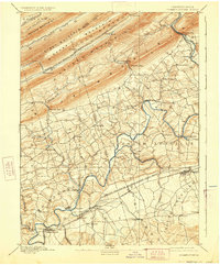
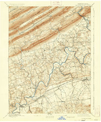
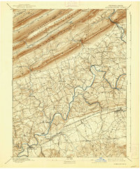
Editions of this 1892 Hummelstown Map
10 editions found
Other maps of this area

1891 · Lebanon
USGS Topo · 1:62,500

1892 · Lykens
USGS Topo · 1:62,500

1892 · Harrisburg
USGS Topo · 1:62,500

1892 · Pine Grove
USGS Topo · 1:62,500

1893 · Lykens
USGS Topo · 1:62,500

1893 · Lebanon
USGS Topo · 1:62,500

1893 · Millersburg
USGS Topo · 1:62,500

1899 · Lebanon
USGS Topo · 1:62,500

1899 · Harrisburg
USGS Topo · 1:62,500

1902 · Lancaster
USGS Topo · 1:62,500
Featured Places
- Hershey, Derry Township
- Palmyra, PA
- Campbelltown, South Londonderry Township
- Rutherford, Swatara Township
- Annville, PA