
1899 Map of Lebanon
USGS Topo · Published 1899About this map
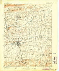
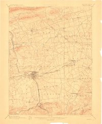
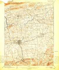
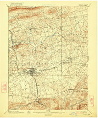
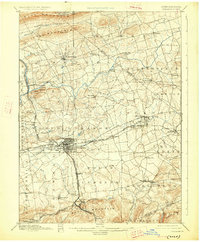
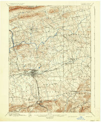
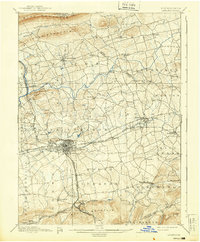
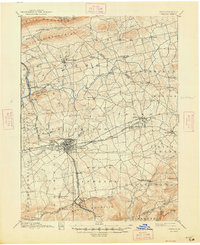
Lebanon serves as the industrial and transportation hub of this late-19th-century landscape, where a dense network of iron and rail connections converges. The Cornwall Railroad and Cornwall and Lebanon Railroad link the city south to the significant mining and manufacturing interests at Cornwall and Rexmont, situated at the base of South Mountain. To the north, the terrain transitions into the Monroe Valley and the steep slopes of Blue Mountain, marking the northern limit of the settled valley.
Find a feature on this map
77 named features on this map. Tap any name to fly to it.
Don’t see what you’re looking for? This feature index may not catch every label — zoom into the map to look around manually.
Map Details
Editions of this 1899 Lebanon Map
9 editions found
Other maps of this area

1889 · Pottsville
USGS Topo · 1:62,500

1891 · Pottsville
USGS Topo · 1:62,500

1891 · Lebanon
USGS Topo · 1:62,500

1892 · Lykens
USGS Topo · 1:62,500

1892 · Hummelstown
USGS Topo · 1:62,500

1892 · Pine Grove
USGS Topo · 1:62,500

1893 · Lykens
USGS Topo · 1:62,500

1893 · Lebanon
USGS Topo · 1:62,500

1902 · Wernersville
USGS Topo · 1:62,500

1902 · Lancaster
USGS Topo · 1:62,500