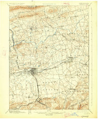
1899 Map of Lebanon
USGS Topo · Published 1927About this map
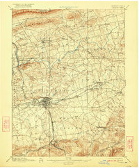
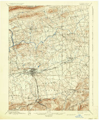
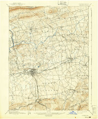
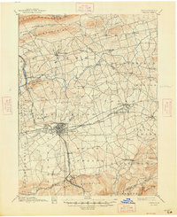
The industrial hub of Lebanon serves as the central focal point for this late nineteenth-century landscape, where a dense network of rail lines converges. The Philadelphia and Reading Railroad and the Cornwall and Lebanon Railroad dominate the southern portion of the map, illustrating the region's importance in transporting iron ore and coal. This transport corridor connects major hubs like Cornwall Junction and Avon with the outlying iron-rich terrain near South Mountain.
Find a feature on this map
76 named features on this map. Tap any name to fly to it.
Don’t see what you’re looking for? This feature index may not catch every label — zoom into the map to look around manually.
Map Details
Editions of this 1899 Lebanon Map
9 editions found
Other maps of this area

1889 · Pottsville
USGS Topo · 1:62,500

1891 · Pottsville
USGS Topo · 1:62,500

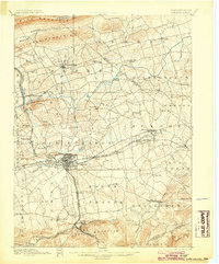
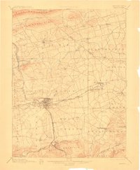
1891 · Lebanon
USGS Topo · 1:62,500

1892 · Lykens
USGS Topo · 1:62,500

1892 · Hummelstown
USGS Topo · 1:62,500

1892 · Pine Grove
USGS Topo · 1:62,500

1893 · Lykens
USGS Topo · 1:62,500

1893 · Lebanon
USGS Topo · 1:62,500

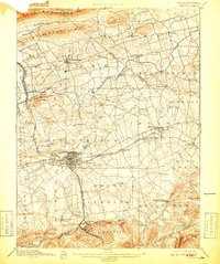
1899 · Lebanon
USGS Topo · 1:62,500

1902 · Wernersville
USGS Topo · 1:62,500