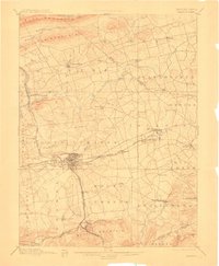
1899 Map of Lebanon
USGS Topo · Published 1911About this map
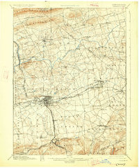
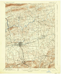
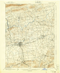
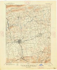
The industrial and agricultural heart of Lebanon County is captured here at a pivotal moment of late-Victorian growth. Lebanon serves as the central hub, surrounded by a dense network of iron and transport infrastructure, including the critical Cornwall Railroad and Cornwall and Lebanon Railroad lines connecting to the mineral-rich areas near Cornwall. The landscape is defined by the ridge-and-valley system of the Appalachian Mountains, with Blue Mountain to the north and South Mountain to the south framing a fertile valley drained by the Swatara Creek and Tulpehocken Creek. Local economies are visible through features like Crosskill Mills and the numerous small settlements such as Bethel, Myerstown, and Schaefferstown. The map illustrates the transition from rural township patterns to more integrated industrial corridors as the Philadelphia and Reading Railroad linked these valley towns to broader markets.
Find a feature on this map
75 named features on this map. Tap any name to fly to it.
Don’t see what you’re looking for? This feature index may not catch every label — zoom into the map to look around manually.
Map Details
Editions of this 1899 Lebanon Map
9 editions found
Other maps of this area

1889 · Pottsville
USGS Topo · 1:62,500

1891 · Pottsville
USGS Topo · 1:62,500

1891 · Lebanon
USGS Topo · 1:62,500

1892 · Lykens
USGS Topo · 1:62,500

1892 · Hummelstown
USGS Topo · 1:62,500

1892 · Pine Grove
USGS Topo · 1:62,500

1893 · Lykens
USGS Topo · 1:62,500

1893 · Lebanon
USGS Topo · 1:62,500

1899 · Lebanon
USGS Topo · 1:62,500

1902 · Wernersville
USGS Topo · 1:62,500