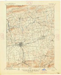
1891 Map of Lebanon
USGS Topo · Published 1891About this map
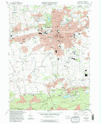
Lebanon stands as the central hub of this late 19th-century landscape, where a dense network of iron and transport infrastructure converged. The map detail highlights the significance of the Cornwall Railroad and the Cornwall and Lebanon Railroad as they served the heavy industry of Cornwall, a crucial mining and smelting center. Beyond the industrial core, the region is defined by distinct agricultural townships like Bethel, Jackson, and Heidelberg, each dotted with historic crossroads and post offices.
Find a feature on this map
60 named features on this map. Tap any name to fly to it.
Don’t see what you’re looking for? This feature index may not catch every label — zoom into the map to look around manually.
Map Details
Editions of this 1891 Lebanon Map
This is the sole edition of this map. No revisions or reprints were ever made.
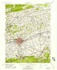
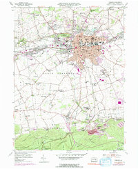
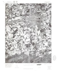
Historical Maps of Lebanon Through Time
8 maps found