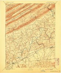
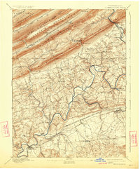
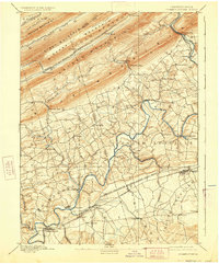
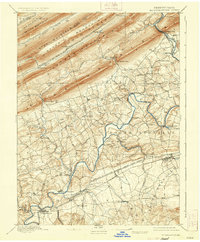
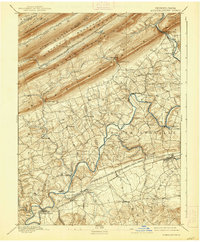
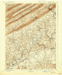
1892 Map of Hummelstown
USGS Topo · Published 1907About this map
The ridge-and-valley terrain of central Pennsylvania dominates this late-19th-century landscape, where the jagged heights of Peters Mountain, Stony Mountain, and Sharp Mountain create formidable natural barriers. Between these summits, narrow water gaps like Swatara Gap and Indiantown Gap serve as essential corridors for transport and settlement. The Philadelphia and Reading Railroad Schuylkill and Susquehanna Branch follows the path of Stony Creek through the mountains, while the Lebanon Valley Branch connects established towns like Hummelstown, Palmyra, and Annville across the flatter agricultural lands to the south.
Find a feature on this map
60 named features on this map. Tap any name to fly to it.
Don’t see what you’re looking for? This feature index may not catch every label — zoom into the map to look around manually.
Map Details
Editions of this 1892 Hummelstown Map
10 editions found
Other maps of this area

1891 · Lebanon
USGS Topo · 1:62,500

1892 · Lykens
USGS Topo · 1:62,500

1892 · Hummelstown
USGS Topo · 1:62,500

1892 · Harrisburg
USGS Topo · 1:62,500

1892 · Pine Grove
USGS Topo · 1:62,500

1893 · Lykens
USGS Topo · 1:62,500

1893 · Lebanon
USGS Topo · 1:62,500

1893 · Millersburg
USGS Topo · 1:62,500

1899 · Lebanon
USGS Topo · 1:62,500

1899 · Harrisburg
USGS Topo · 1:62,500
Featured Places
- Hershey, Derry Township
- Palmyra, PA
- Campbelltown, South Londonderry Township
- Rutherford, Swatara Township
- Annville, PA