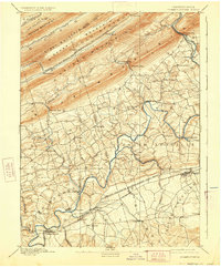
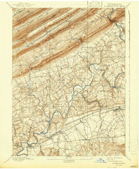
1892 Map of Hummelstown
USGS Topo · Published 1928About this map
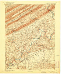
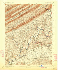
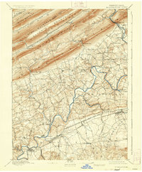
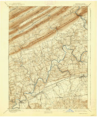
Swatara Creek meanders through the heart of this landscape, serving as a primary drainage for the valleys between the prominent ridges of Blue Mountain and Second Mountain. The late 19th-century geography is defined by a dense network of farming villages and industrial rail links, including the Philadelphia and Reading Railroad Lebanon Valley Branch connecting Palmyra and Annville. To the north, the terrain becomes increasingly steep and dominated by parallel mountain ranges like Sharp Mountain and Stony Mountain, where smaller settlements like Rausch Gap and Cold Spring are situated along the Schuylkill and Susquehanna Branch. Notable landmarks include Walmers Church and the natural passages of Indiantown Gap and Manada Gap, which would later become significant military and transit corridors. The map captures a transition from the agricultural lowlands near Hummelstown to the resource-rich mountain gaps of the north.
Find a feature on this map
63 named features on this map. Tap any name to fly to it.
Don’t see what you’re looking for? This feature index may not catch every label — zoom into the map to look around manually.
Map Details
Editions of this 1892 Hummelstown Map
10 editions found
Other maps of this area

1891 · Lebanon
USGS Topo · 1:62,500

1892 · Lykens
USGS Topo · 1:62,500

1892 · Hummelstown
USGS Topo · 1:62,500

1892 · Harrisburg
USGS Topo · 1:62,500

1892 · Pine Grove
USGS Topo · 1:62,500

1893 · Lykens
USGS Topo · 1:62,500

1893 · Lebanon
USGS Topo · 1:62,500

1893 · Millersburg
USGS Topo · 1:62,500

1899 · Lebanon
USGS Topo · 1:62,500

1899 · Harrisburg
USGS Topo · 1:62,500
Featured Places
- Hershey, Derry Township
- Palmyra, PA
- Campbelltown, South Londonderry Township
- Rutherford, Swatara Township
- Annville, PA