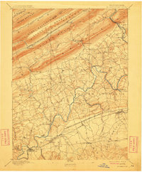
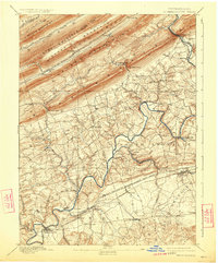
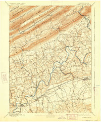
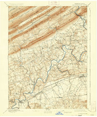
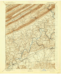
1892 Map of Hummelstown
USGS Topo · Published 1912About this map
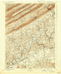
Peters Mountain and Stony Mountain dominate the northern landscape, where the long ridges of the Appalachians are cut by dramatic openings like Swatara Gap and Indiantown Gap. This topography shaped the transport patterns of the late nineteenth century, as seen in the Philadelphia and Reading Railroad Schuylkill and Susquehanna Branch following the narrow valleys between the peaks. Further south, the terrain levels into the rolling valley floor where long-established settlements like Hummelstown, Palmyra, and Campbelltown sit amidst a network of rural roads.
Find a feature on this map
63 named features on this map. Tap any name to fly to it.
Don’t see what you’re looking for? This feature index may not catch every label — zoom into the map to look around manually.
Map Details
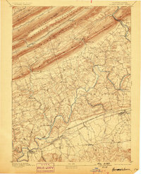
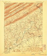
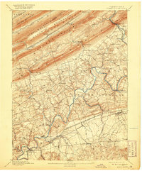
Editions of this 1892 Hummelstown Map
10 editions found
Other maps of this area

1891 · Lebanon
USGS Topo · 1:62,500

1892 · Lykens
USGS Topo · 1:62,500

1892 · Hummelstown
USGS Topo · 1:62,500

1892 · Harrisburg
USGS Topo · 1:62,500

1892 · Pine Grove
USGS Topo · 1:62,500

1893 · Lykens
USGS Topo · 1:62,500

1893 · Lebanon
USGS Topo · 1:62,500

1893 · Millersburg
USGS Topo · 1:62,500

1899 · Lebanon
USGS Topo · 1:62,500

1899 · Harrisburg
USGS Topo · 1:62,500
Featured Places
- Hershey, Derry Township
- Palmyra, PA
- Campbelltown, South Londonderry Township
- Rutherford, Swatara Township
- Annville, PA